
In mid-June 2024, the COLLARIS Network executed another trial on Unmanned Aerial Systems (UAS) – this time organized by DCNA in Innsbruck, Austria, and in collaboration with the EU HORIZON project CREXDATA. The trial’s focus was on emerging UAS technologies, particularly Neural Radiance Fields (NeRF) to create interactive 3D environments from visual data captured by drones. The event demonstrated the potential of 3D modeling for enhancing incident response, particularly in planning and documentation. Real-time operational value is currently limited by technical complexity and the need for accurate data. Recommendations include centralized image storage and cautious, incremental model development to ensure reliability.
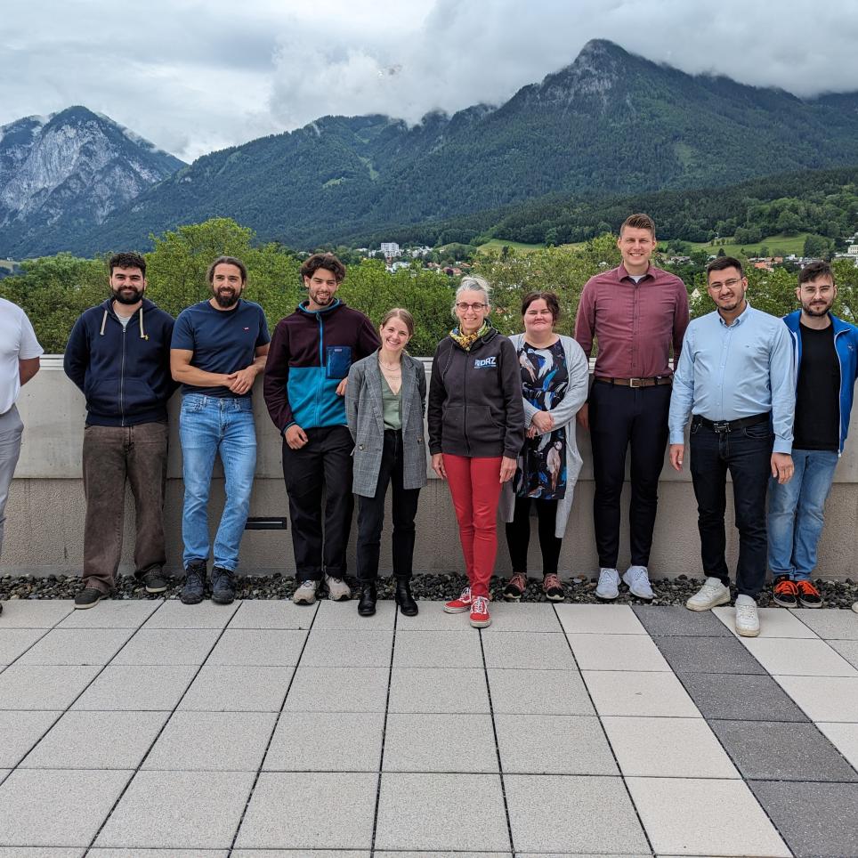
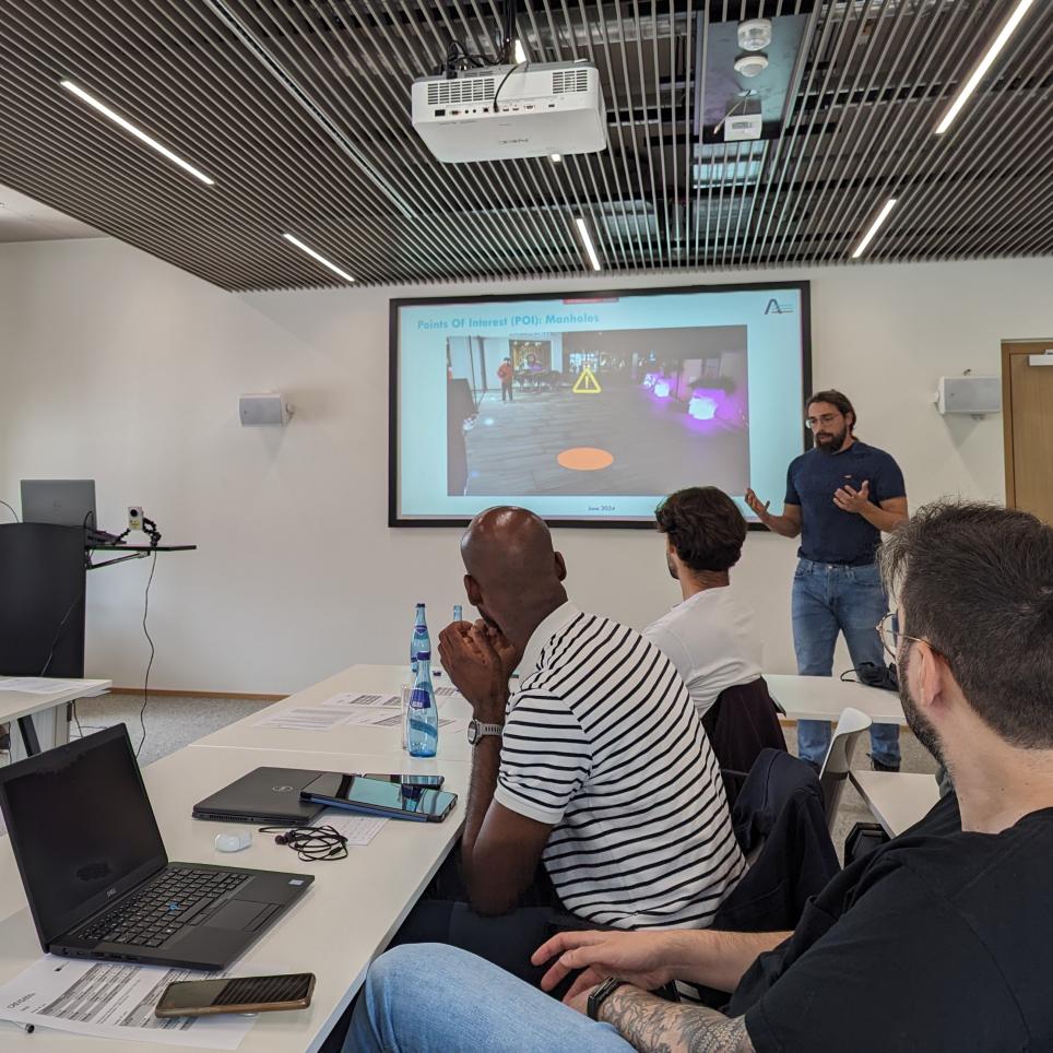
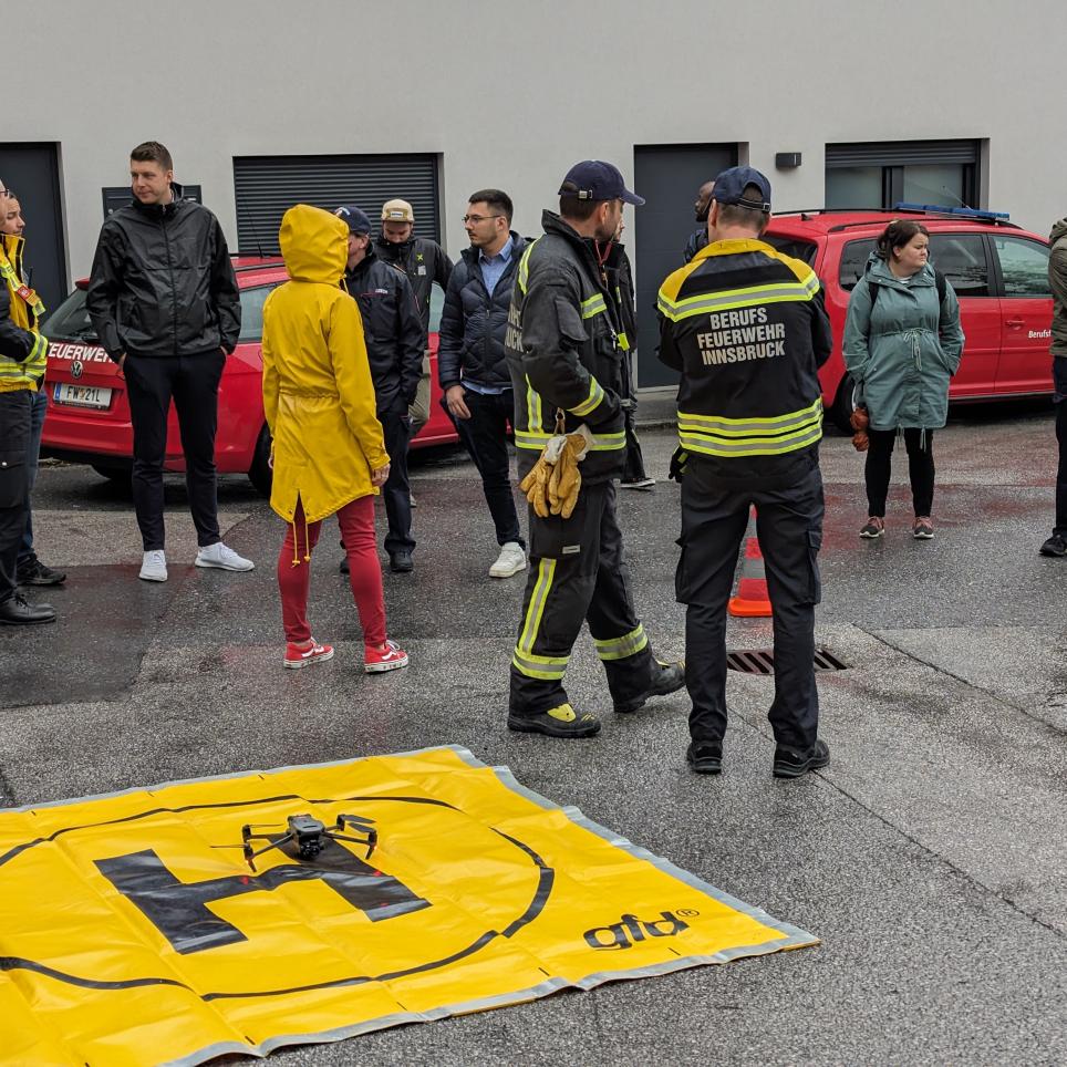

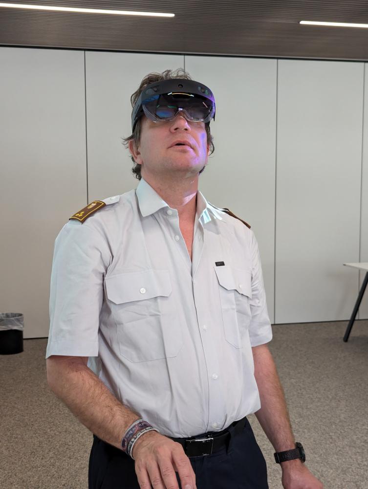
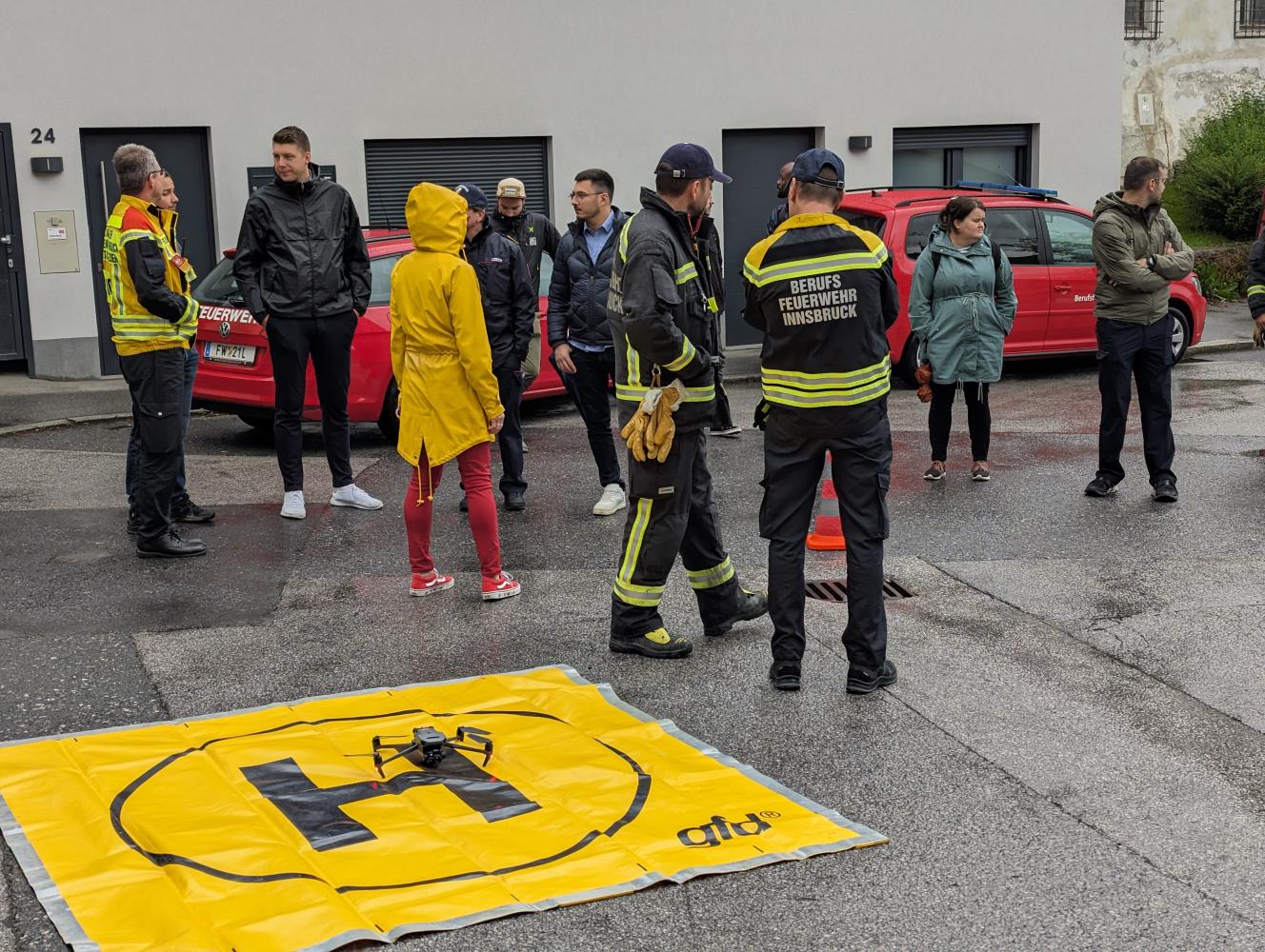
Stakeholders of the second COLLARIS trial this year included academia, emergency services, and local authorities, with participants from the Innsbruck fire brigade, the Upper Austrian fire brigade, and the Tyrol National Warning Centre. The German Rescue Robotics Centre (DRZ) provided expertise in NeRF technology. The event included an introduction to NeRF technology, the application of NeRF on collected images, and an evaluation by invited experts in the field of disaster and crisis management. Furthermore, the event featured UAS flights conducted by the Innsbruck fire brigade in the district of Amras (selected due to a previous heavy rain event and its suitability for UAS operations). The scenario presumed a heavy rain event causing pluvial flooding in Innsbruck, and the trial involved assessing the response using UAS and NeRF technology.
Watch the highlights of the trial in this video:
Results and recommendations from the trial
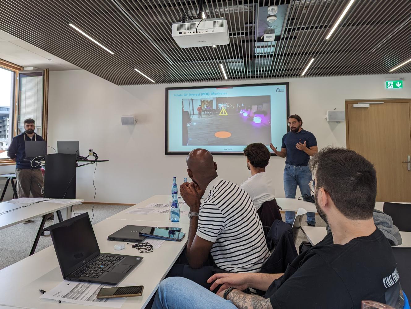
The primary goal of the trial was to provide stakeholders with firsthand experience and facilitate the selection, validation, and adoption of promising technical and organizational solutions. The following are some of the conclusions of the event, gained through structured interviewsgroup discussions carried out with the experts in Innsbruck:
- NeRF showed potential in creating detailed 3D models useful for visualizing flood impacts, assessing terrain accessibility, and inspecting structures. However, issues with rendering speed and quality were identified, indicating the need for further development.
- 3D models could be particularly beneficial for planning and documenting disaster response efforts but the real-time operational value is currently limited by technical complexity and the need for accurate data.
- Centralized image storage for nationwide access was deemed desirable. A gradual improvement of models over time was recommended to ensure reliability.
- The experts highlighted the importance of timely and accurate data for decision-making, with mixed opinions on balancing speed and model quality.
Thanks and next steps
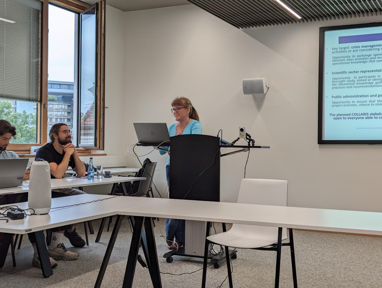
The COLLARIS Network would like to thank everyone taking part in the trial which was a valuable opportunity to showcase current scientific developments in 3D modelling with the use of UAS and in the context of disaster and crisis management. The trial not only connected different EU projects and their staff who are concerned with advancing applied research in the field of disaster and crisis management; it also connected practitioners such as fire brigades, and local government representatives with academia and technology developers on an EU-wide level.
The Network is currently planning its last two trials this year - one in Poland and one in Cyprus.
About COLLARIS
COLLARIS (COLLaborative network on unmanned AeRIal Systems) is a capacity-building initiative to develop a sustainable European network of scientific, engineering, and end-user expertise related to unmanned aerial systems (UAS) in civil protection and disaster response. Learn more.
Related news
The event in Skövde, Sweden was divided into live exercises and virtual simulations, and aimed to improve the cooperation between first responders.