You are about to be redirected to EU Login, our authentication service.
The UCPKN platform offers different kinds of information views based on the identification of the user, and its associated roles. If it is the first time you are logging in to the platform, your profile will be validated at the end of the process, and you will receive a label and/or associated roles on the platform based on the information provided by you.
If you are a civil protection expert active in the context of the Union Civil Protection Mechanism operations (e.g., training, exercises, deployments), make sure you are using the same email address you used for training/deployment registration for a proper creation of your profile.
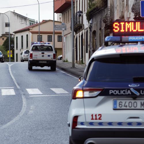
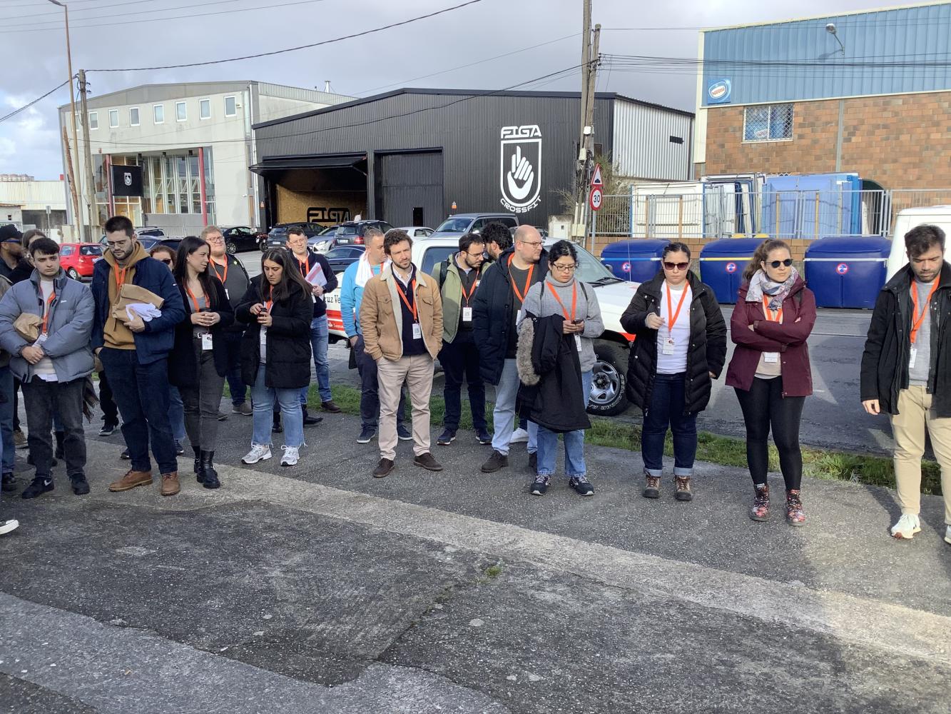
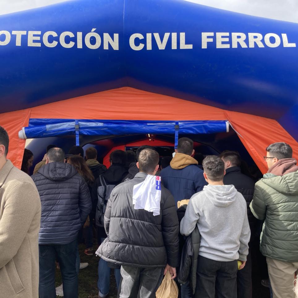
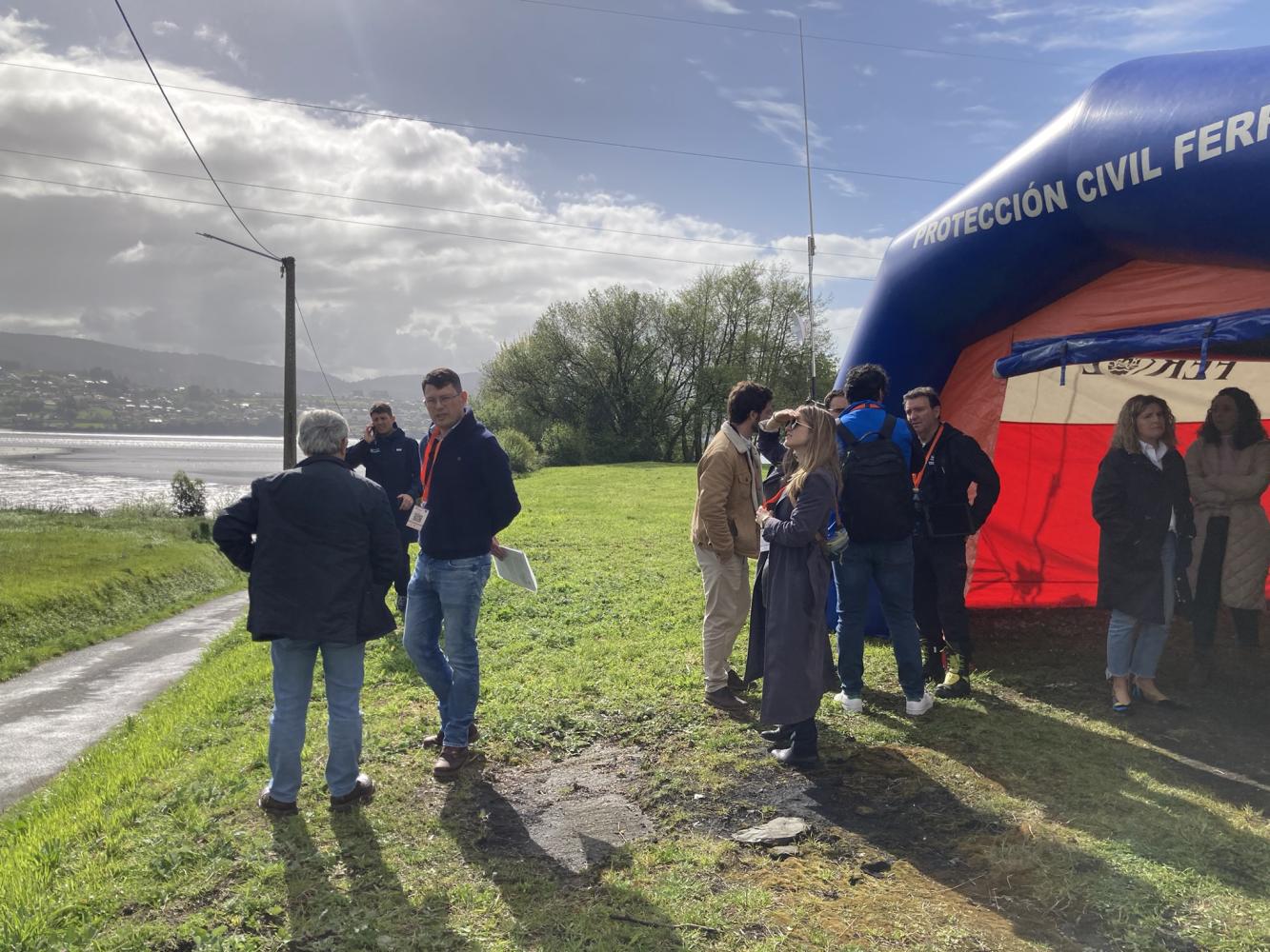
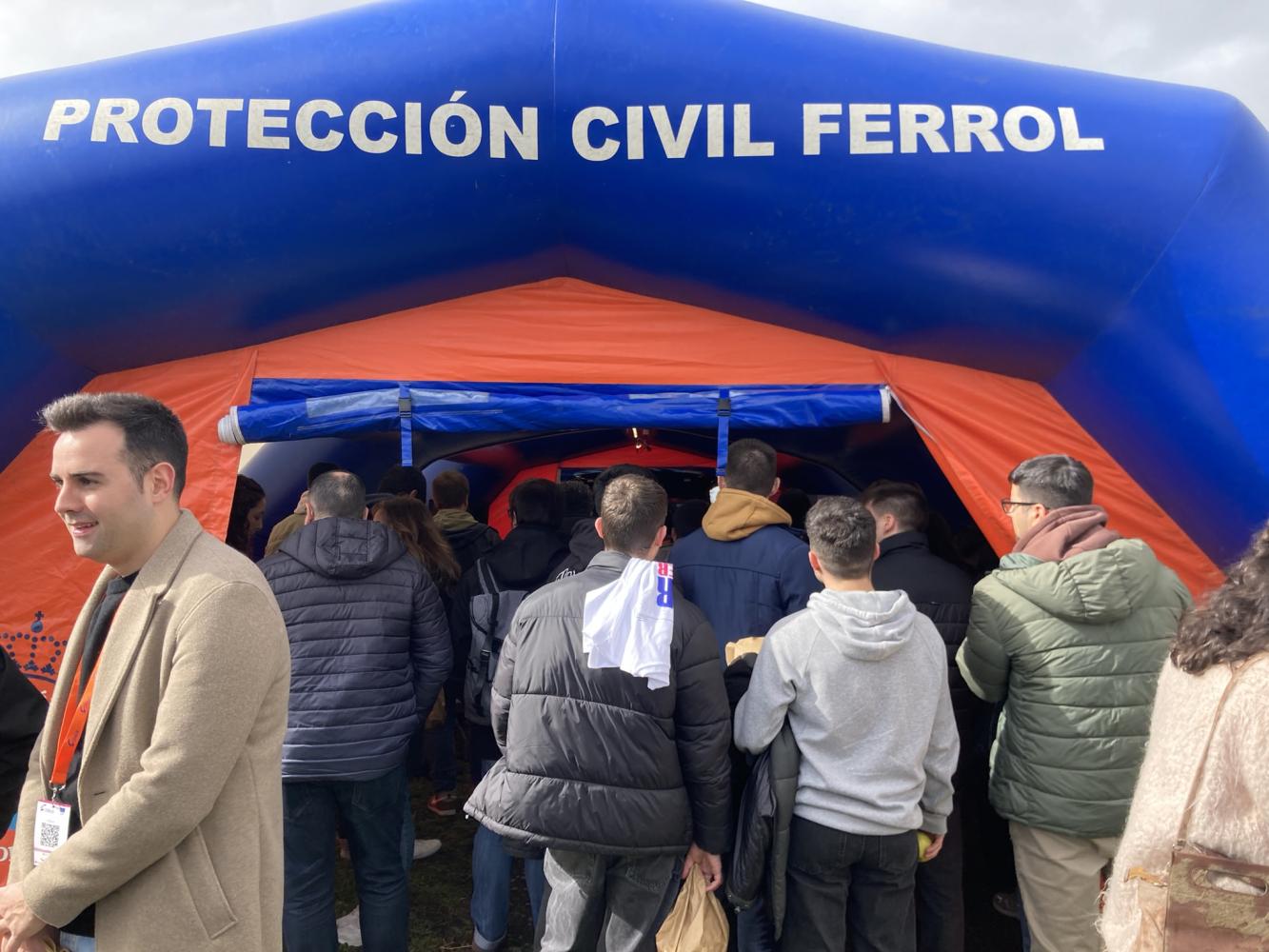
On 9 and 10 April, one of the first face-to-face events of the Covalex Project took place in Ferrol, Spain. Among the activities that took place was a simulation exercise of a real emergency.
FloodFood SafetyMeteorological & Hydrological
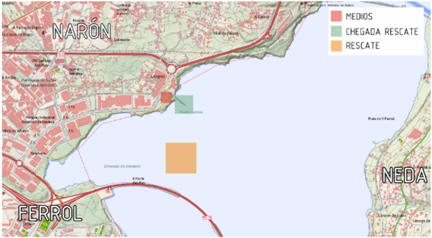
Three related scenarios are proposed, as they are caused by the same natural hazard and develop successively in the same área.
The proposed ICIDENT would result from heavy rainfall in the area as a result of a storm, during which the Xuvia River would carry a large amount of debris (mainly trees) which, on its way though the dam of the Rei Dam, would cause a partial breach of the dam wall/structure, leading to an uncontrolled outflow of the accumulated water, causing a sudden flood of the river downstream.
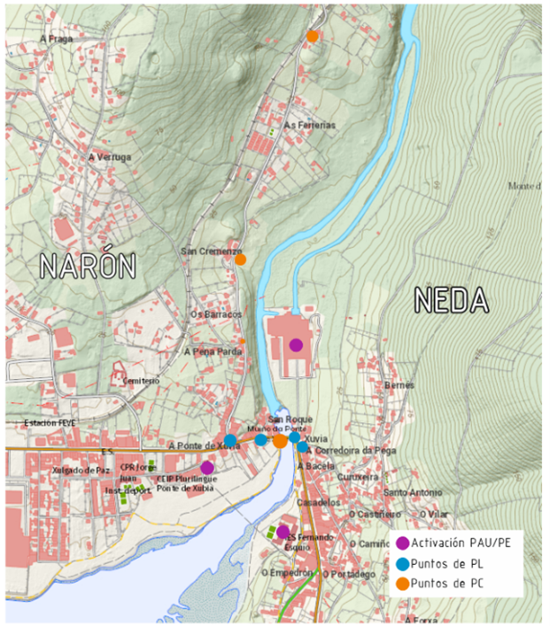
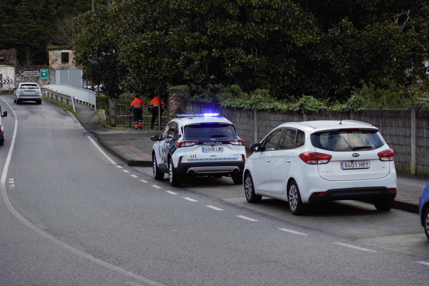
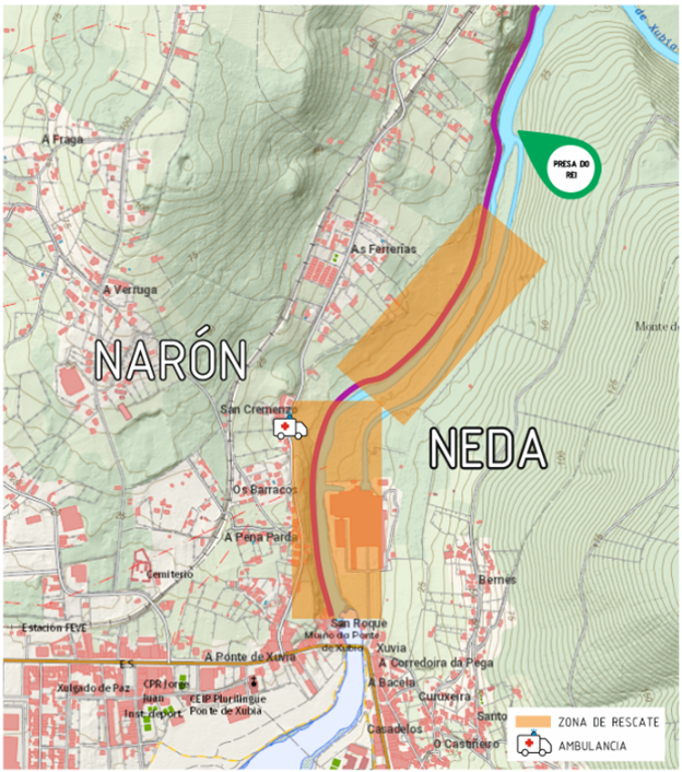
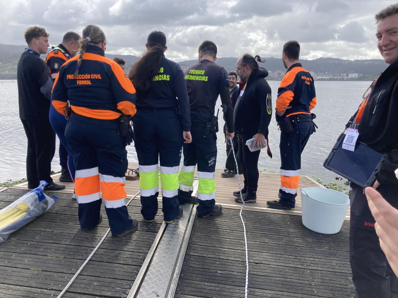
Stage 1: Urban area in Xuvia (Narón and Neda)
Following the alarm of a person who identifies this flood, the relevant emergency services proceed to the activation of the ALERT. The INUNGAL plan and territorial and municipal action plans (Narón) are activated.
Subsequently, those affected by the flooding are alerted and, if necessary, the area is evacuated (in a simulated manner). The members of the volunteer teams simulate the cutting of the road. As can be seen in the photos below, in which the troops are carrying out their action.
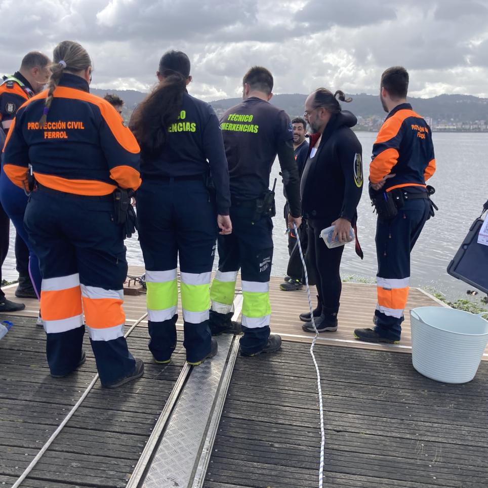
In this first exercise, two people fall into the river as a result of the dam break. While the control and surveillance of certain areas that are considered COMPLEX ZONES of the river is being carried out, two real victims are located who have fallen into the water (the victims will be volunteers who are duly protected and insured).
The victims are located in the orange marked areas of the riverbed, as can be seen in the photograph on the right. Once the victims have been located, the rescue is carried out.
The water rescue consisted of a team that entered the river and through a series of manoeuvres rescued both victims. In the images below you can see part of the rescue.
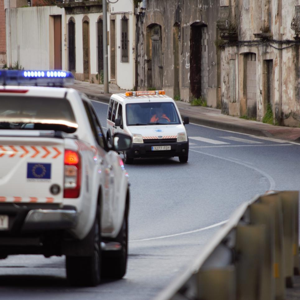
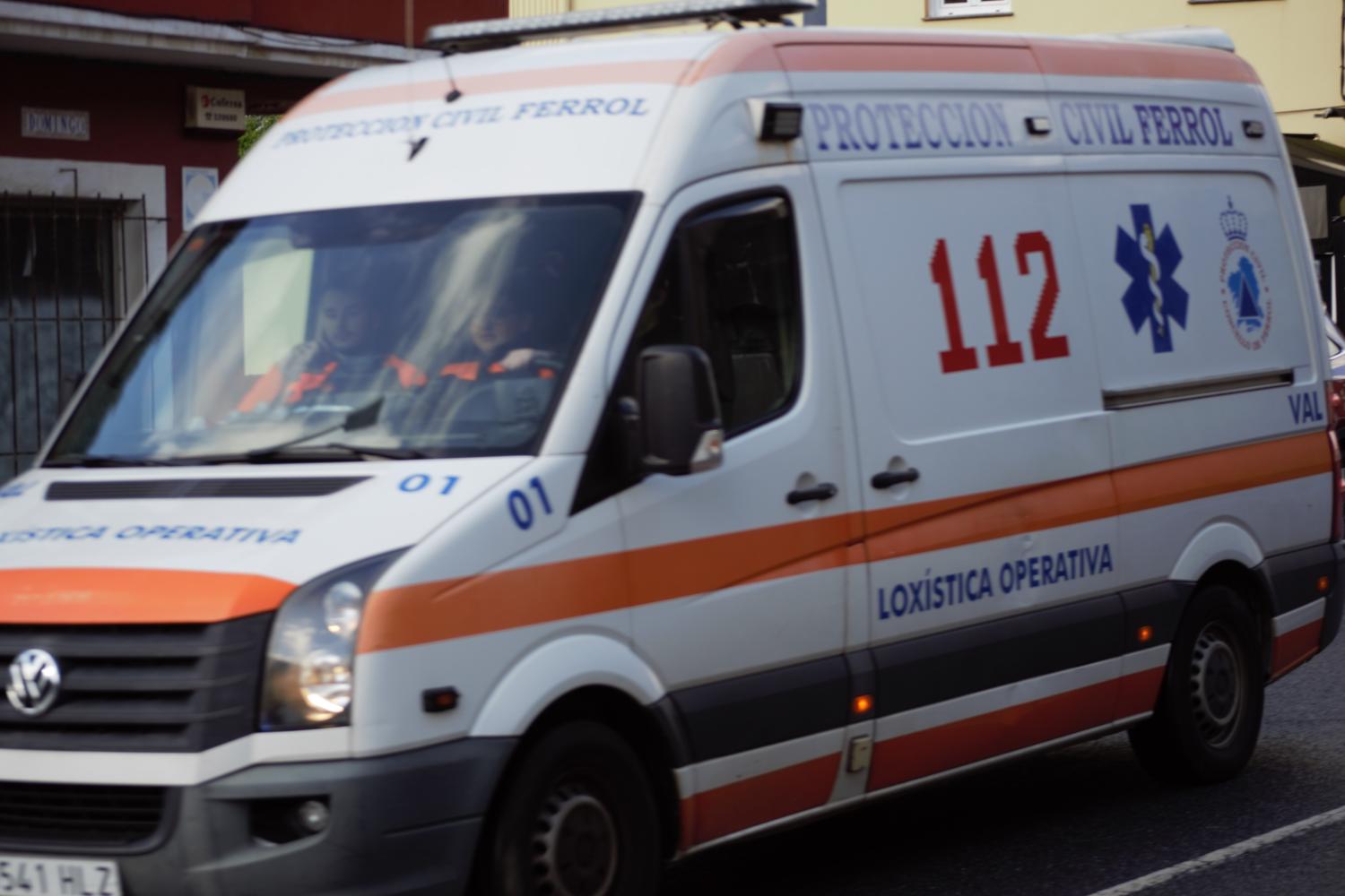
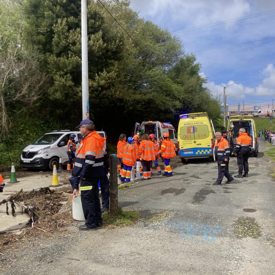
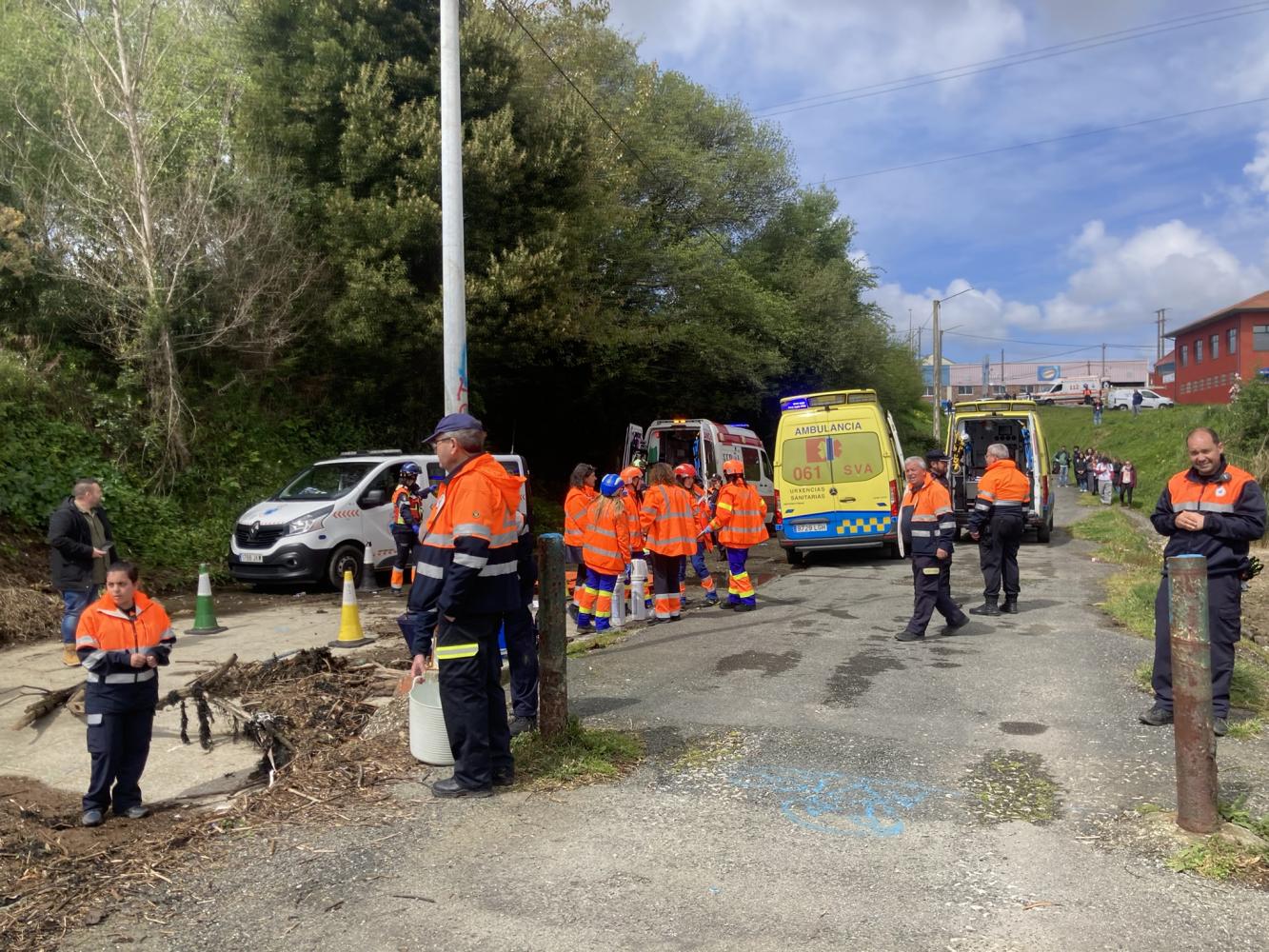
Once the victim has been pulled out of the river, he or she is transferred to the ambulance through the natural environment. Finally, the ambulance simulates the journey to the hospital. This journey is not completed in its entirety. For the exercise, an end point was set for the route, which simulates the hospital and to which the ambulances have to reach. This simulates the actual transfer without having to use too many resources for the exercise and prevents the ambulances from doing their real work while the exercise is being carried out.
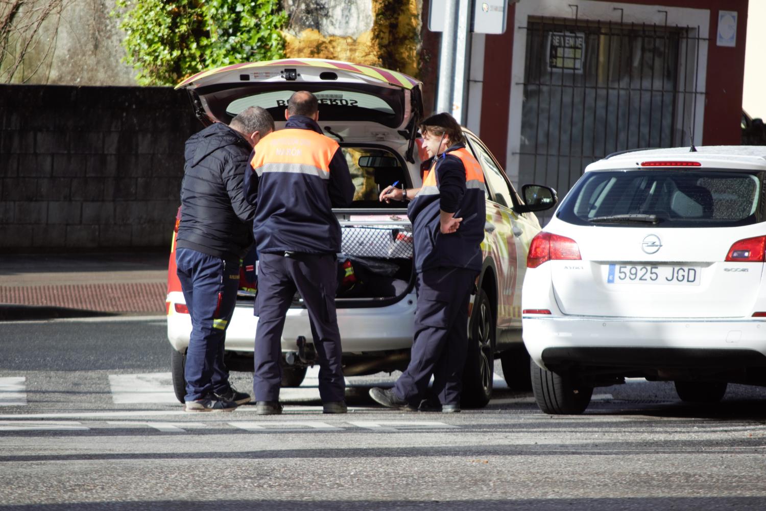
Next, a brief technical stop was made to move the necessary resources from the first location where Scenarios 1 and 2 would be carried out to the second location where Scenario 3 would take place.
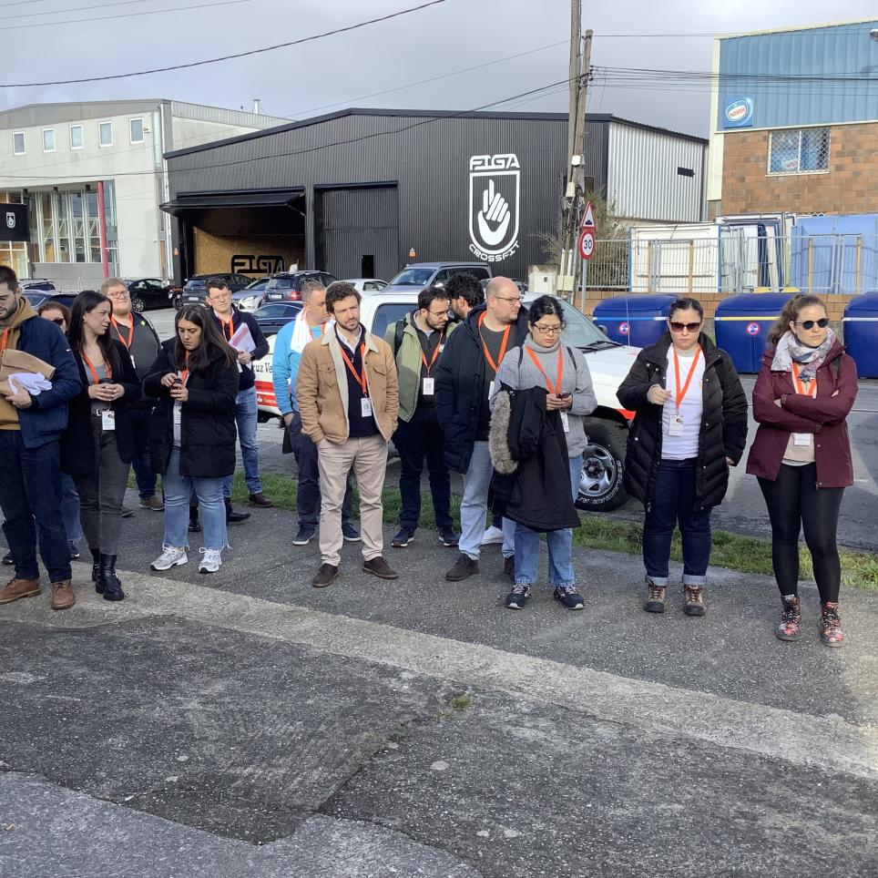
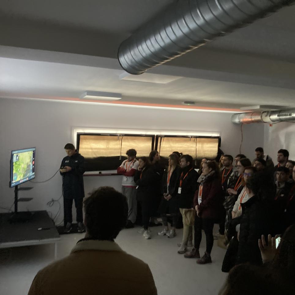
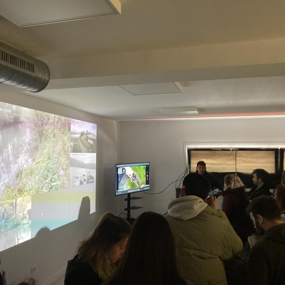
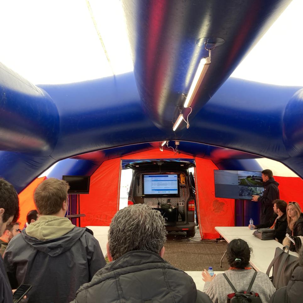
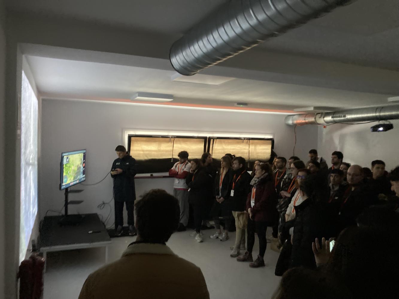
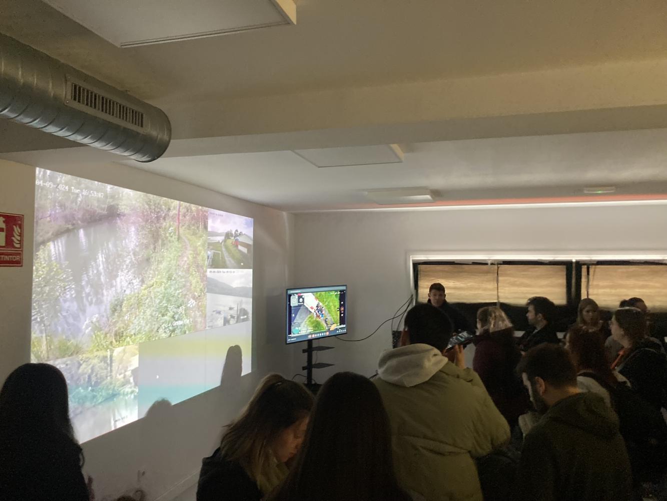
The students were able to observe this first scenario from a location where their safety would not be put at risk, by means of a series of cameras that recorded the entire simulation. There was also the support of a drone, which recorded the drill and transmitted it live so that the students could follow the action.
Between Exercises 2 and 3, the students were shown how the forward command post and the field hospital, which were set up close to the area, functioned so that they could observe the action in both
Students safe location with real time follow simulation
Students safe location with real time follow simulation
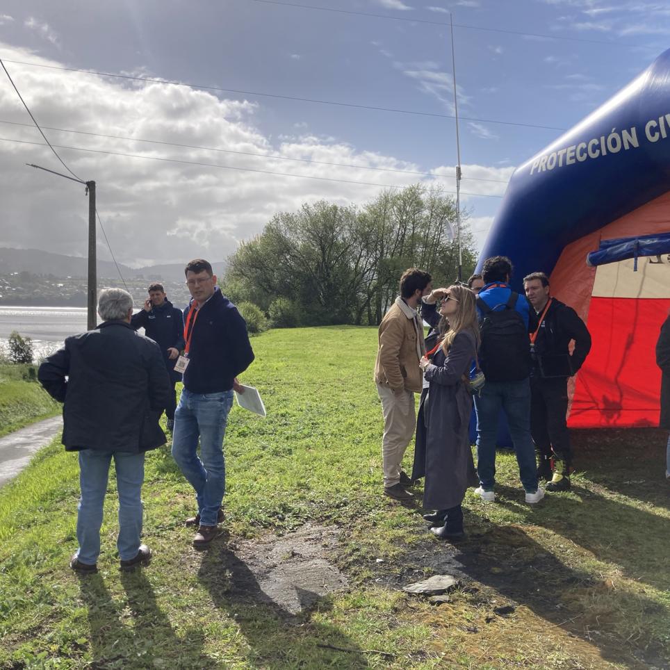
Alumni at the Advanced Command Centre
Alumni at the Advanced Command Centre
Alumni at the Advanced Command Centre
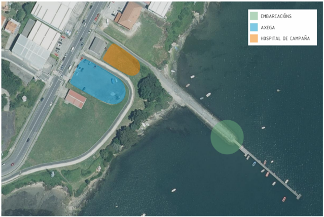
Stage 3: Gándara Cove
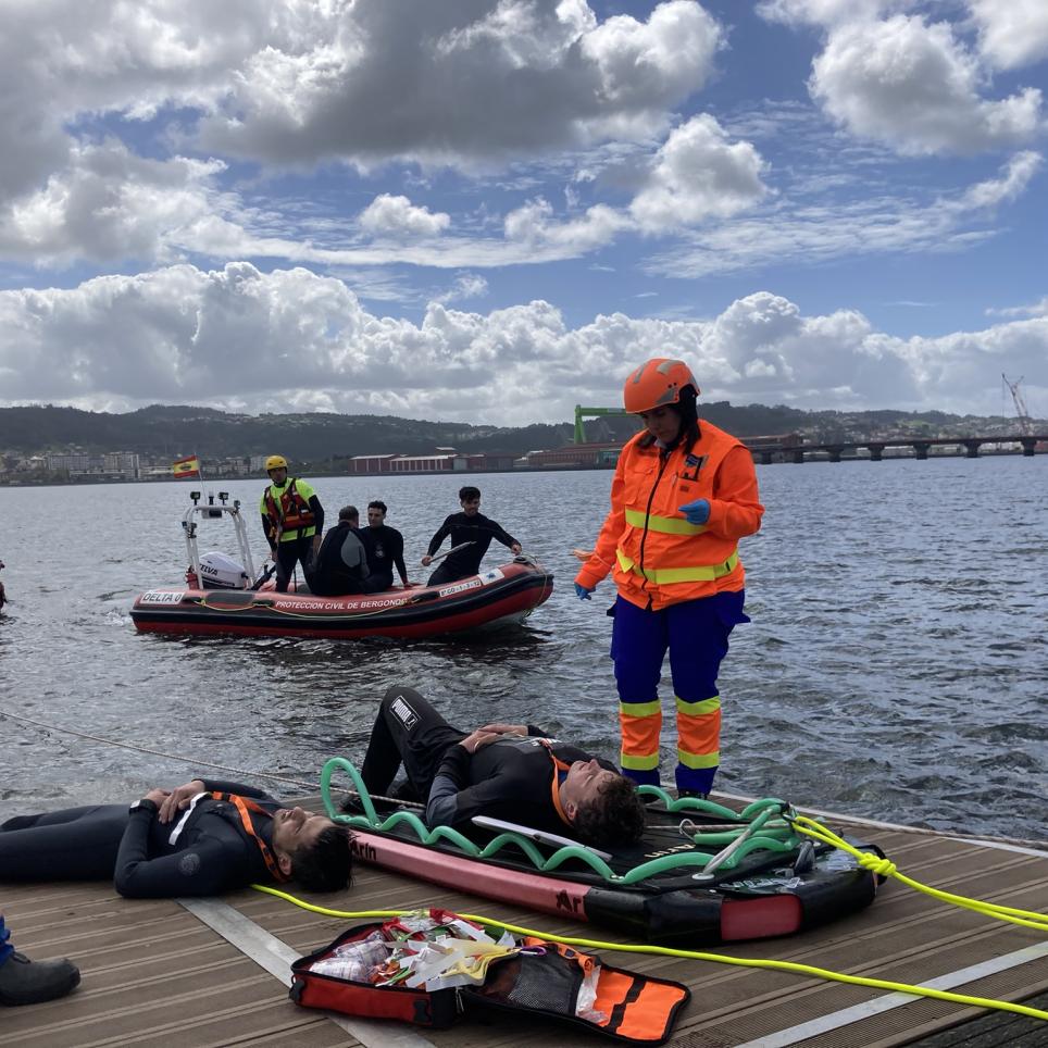
As a last scenario, a traffic accident was simulated at the A Gándara bridge. The accident caused a school bus (simulated) to fall. The result is ten victims (driver and occupants), scattered around the bridge, which generates the need for a WATER RESCUE.
In the image we can see the bridge where the accident took place highlighted in red, as well as the area where the victims were to be found (it was moved towards the inlet so as not to get in the way of the daily action), highlighted in orange. The jetty used for the victims' passage to land is highlighted in green...
The following picture shows in more detail the location of each of the ground elements.
The facilities set up for the exercise were the field hospital, highlighted in orange in the image on the left; next to it, the advanced command post can be seen, in blue. Also noteworthy is the jetty where the rescue will take place, highlighted in green.
Ten volunteers played the role of victims. The first two set up a lifeline for the safety of the volunteers, which allowed the rest of the volunteers to position themselves in the area in complete safety. Once the simulated victims were positioned and scattered around the area, and all the means and preparations were in place, the action began.
Maritime Rescue and the Red Cross floated two boats for the manoeuvres. With them they picked up the victims and simulated the route they would have to take from the bridge at A Gándara. They were taken out of the water by the jetty shown in the previous photos. Once the injured had been deposited on land by Maritime Rescue and Red Cross boats, they were triaged, which took place on the same jetty.
Triage was carried out on the same jetty, where, one by one, the patients' symptoms were analysed and their condition, risk and priority for treatment were determined.
After this first triage, and following the established order, the injured were transferred to the first intervention post. This was located just off the jetty in the stone area connecting it to the beach, where a team of paramedics and two medical ambulances were stationed.
Here the patients were treated and stabilised. Once this was done, they were transferred to the field hospital, located at the top of the hill.