
The COLLARIS2 project conducted its first trial in Prudnik (southern Poland) in mid-June which was once again a great opportunity to gather experiences related to drone-use in disaster management. The two-day trial was part of a State Fire Service exercise and focused on fighting forest fires. During the trial the COLLARIS Network was able to test several drone-related systems – e.g., an active drone positioning system based on LoRaWAN transmitters (independent of the GSM network). Besides, the trial provided further proof that aerial operations management systems, as well as rapid drone data processing and analysis tools, significantly enhance the effectiveness of rescue operations. However, their broader implementation requires specialized training. Read more about the event and further learnings below.
About the exercise (“BISKUPIA KOPA 2025”)
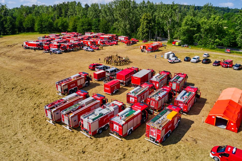
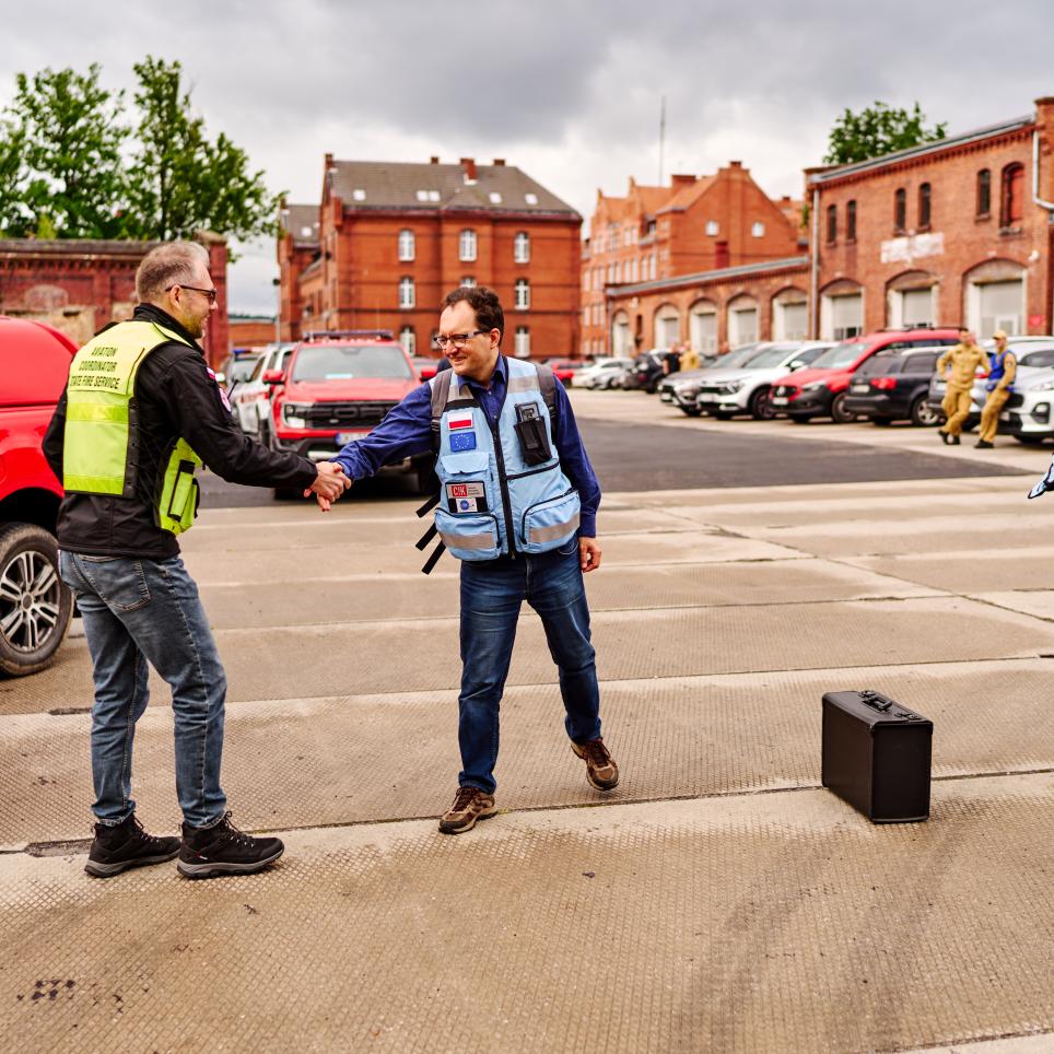
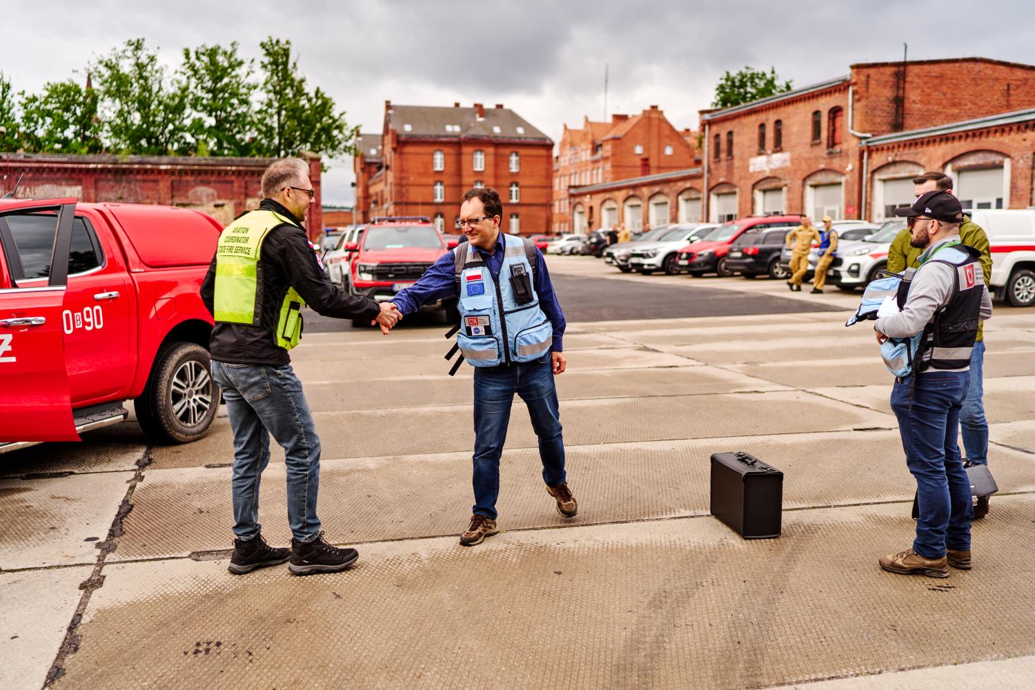
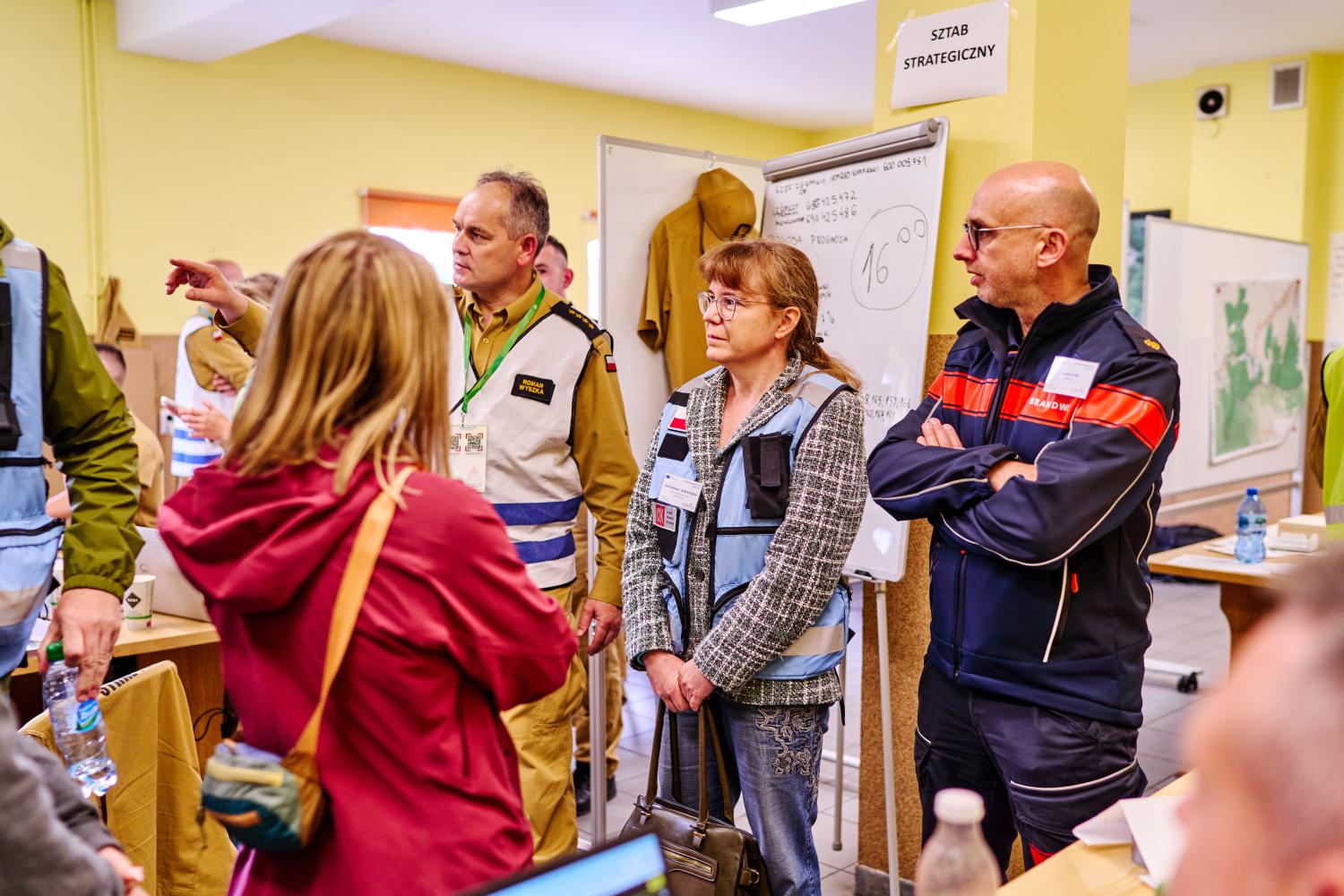
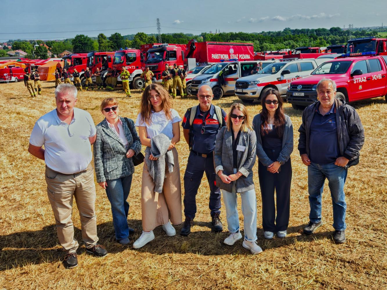
More than 400 firefighters along with 110 vehicles, four helicopters, a firefighting aircraft, and four drone teams took part in the exercise which was called “BISKUPIA KOPA 2025”, as well as several other organizations such as the police and the Czech fire service. COLLARIS2 project coordinator Crisis Information Centre (CIK CBK PAN) participated as a coordinator of the evaluation of selected innovative solutions.
The exercise scenario was based on a simulation of a large-scale forest fire in the mountains. Due to drought, difficult weather conditions, and challenging terrain, extinguishing the fire required pumping water over long distances and elevations, as well as the use of helicopters and firefighting aircraft for water drops. The activities also included responding to additional incidents such as a road traffic accident. This „inter-provincial” exercise is the largest kind of regular trainings organized by the Polish State Fire Service.
Photos: Tomasz Flak


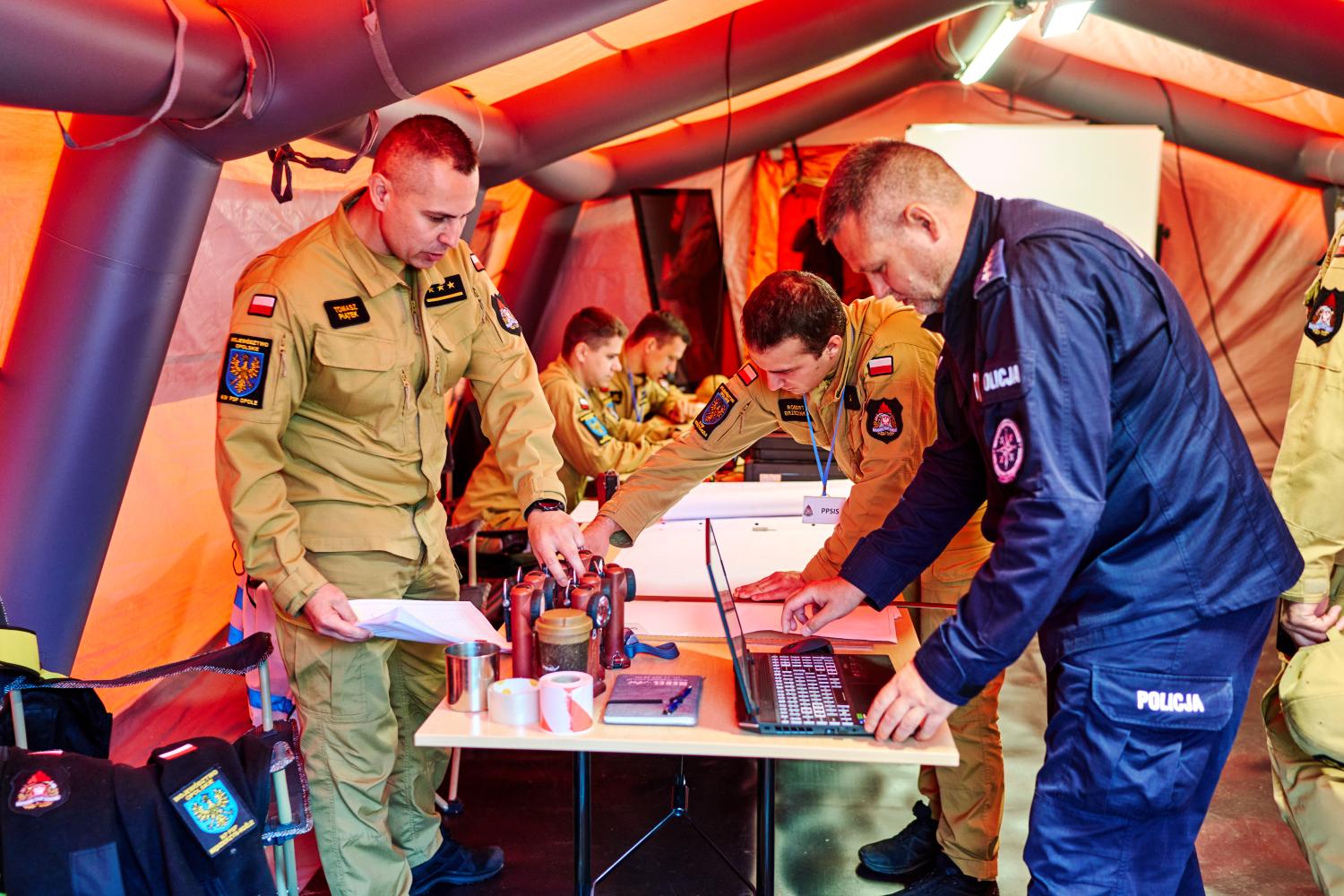


Key learnings in terms of drone-use
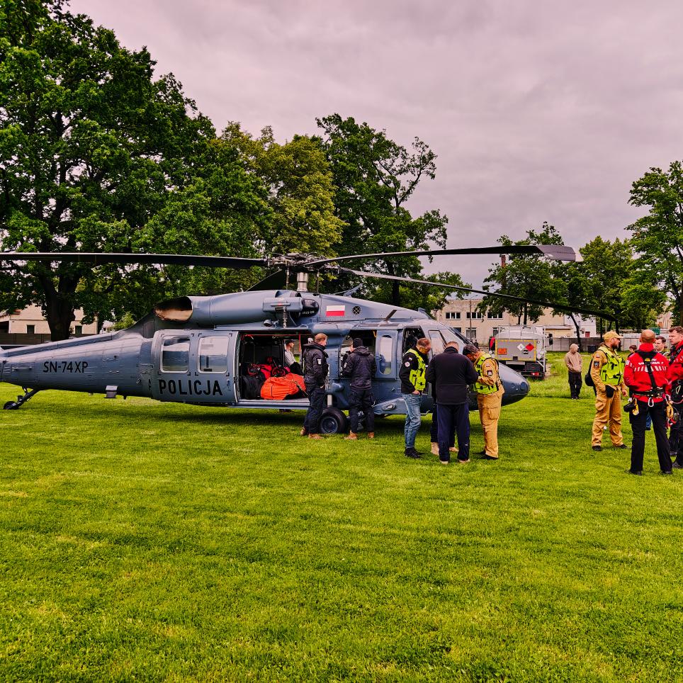
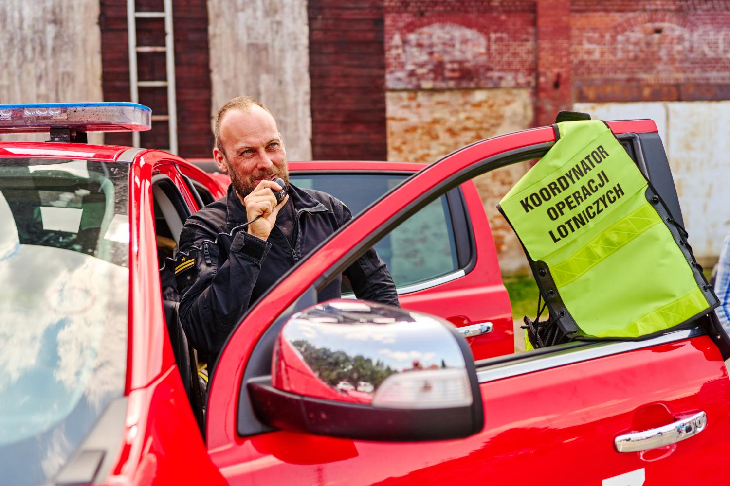
The exercise included a substantial aerial and drone component. A police S-70i Black Hawk helicopter supported the operations of the State Fire Service by performing water drops using a Bambi Bucket and practicing the evacuation of rescuers. Firefighting flights were also carried out by a helicopter and an aircraft from the State Forests, as well as a helicopter from the Polish Power Grid Company (reconnaissance missions). The Air Ambulance Service carried out the evacuation of individuals injured in the car accident.
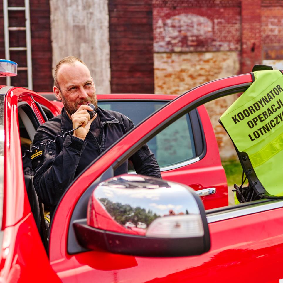
The situation was continuously monitored by four drone teams from various units, transmitting live video streams to the command centre. The safe and effective execution of aerial and drone operations was ensured by a specially designated Air Operations Coordinator, responsible for coordination between manned aircraft pilots and drone operators, including maintaining both horizontal and vertical airspace separation.
The exercise provided further proof that aerial operations management systems, as well as rapid drone data processing and analysis tools, significantly enhance the effectiveness of rescue operations. However, their broader implementation requires specialized training for both analytical teams in command centres and field operation commanders.
Results of drone-related tests
Several drone-related systems were tested:
- Two drone positioning monitoring systems for use in scenarios without GSM connectivity: These systems were based on LoRa and LoRaWAN signals. Both solutions proved to be promising and relatively low-cost “stop-gap” tools for tracking drones until a fully integrated system approach is implemented.
- The AIDERS system (developed under a European project coordinated by KIOS): As an IoT-powered solution, AIDERS offers both standalone tools for intelligent UAV-based data collection and processing, as well as advanced ground control tools for enhanced data analytics and visualization. The toolkit includes robust command-and-control capabilities for managing UAV teams across a range of missions, such as aerial data collection, search and rescue, and area monitoring.
- The Galileo Emergency Warning Satellite Service (EWSS): According to European Commission plans, this service will allow authorized users from EU Member States to quickly designate threat-affected areas and send short, pre-defined warning messages via satellite to all GNSS receivers, especially mobile phones, located in those areas. These messages will provide information about the nature of the threat and recommended actions. This solution is particularly effective in GSM-dead zones but works best outdoors—where the satellite signal can be received without interference.
Participants in the COLLARIS Trial included representatives from project partners in Cyprus, Greece, France, Austria, and the Netherlands. They had the opportunity to familiarize themselves with Polish methods of air operations coordination and mechanisms for cooperation between various emergency services and compare them with their own national systems. They also established direct contacts and exchanged information with exercise participants, while observing the tests and outcomes of the validated technical and procedural solutions.
About COLLARIS2
The EU-funded project COLLARIS2 is the successor to COLLARIS (COLLaborative network on unmanned AeRIal Systems) and focuses on the use of UAS (e.g., drones) in the field of civil protection and disaster management. Building upon the results of the COLLARIS Network, this project aims to continue, expand and further develop the already established international network of crisis management and civil protection practitioners, research institutions and public administration. The members of the network collect and transfer knowledge, exchange experiences, skills, good practices and information on operational procedures for the optimal use of drones in crisis management and rescue missions.