Integrating data-driven intelligence into WUI risk planning
By Ainara Casajus, Núria Gasulla | Directorate General of Civil Protection, Department of the Interior and Public Security, Government of Catalonia
Wildfires
By Ainara Casajus, Núria Gasulla | Directorate General of Civil Protection, Department of the Interior and Public Security, Government of Catalonia
The proliferation of peri-urban settlements in Catalonia during the 1960s and 70s has resulted in highly fragmented landscapes where extensive forest areas intersect with scattered urban developments. This expansion of the Wildland-Urban Interface (WUI) has significantly increased the exposure of populations and assets to high-intensity wildfires. To address this, Pilot 1 of the FIRE-SCENE project is enhancing risk preparedness by developing a methodology to assess the self-protection capacity of these communities—locally known as urbanitzacions. This approach represents a strategic shift from static hazard identification toward a dynamic understanding of a community’s operational resilience.
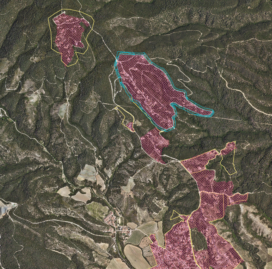
A fundamental prerequisite for this assessment is the precise delimitation of assets at risk. Historically, Catalonia has lacked a unified and comprehensive map of its hundreds of peri-urban settlements. To bridge this gap, the Pilot 1 team consolidated diverse cartographic databases—including datasets from the Institut Cartogràfic i Geològic de Catalunya (ICGC) and wildfire prevention maps from provincial councils—to establish a rigorous study scope. The pilot currently encompasses 482 settlements across 88 municipalities in the provinces of Barcelona and Girona, selected for their diversity in urban fabric, vegetation type, and wildfire history.
This territorial foundation is essential for the implementation of the Risk Assessment and Planning (RA&P) Tool-1. This GIS-based tool automatically evaluates the capacity of peri-urban areas to implement two primary safety strategies: confinement (shelter-in-place) or evacuation. By processing data layers that categorise settlements based on their physical characteristics—covering both external wildfire exposure and internal vulnerabilities—the tool generates a "Capacity Index”. This index provides the necessary evidence base to assess the viability of a managed evacuation versus an initial shelter-in-place strategy, whether within private dwellings or in designated local shelters.
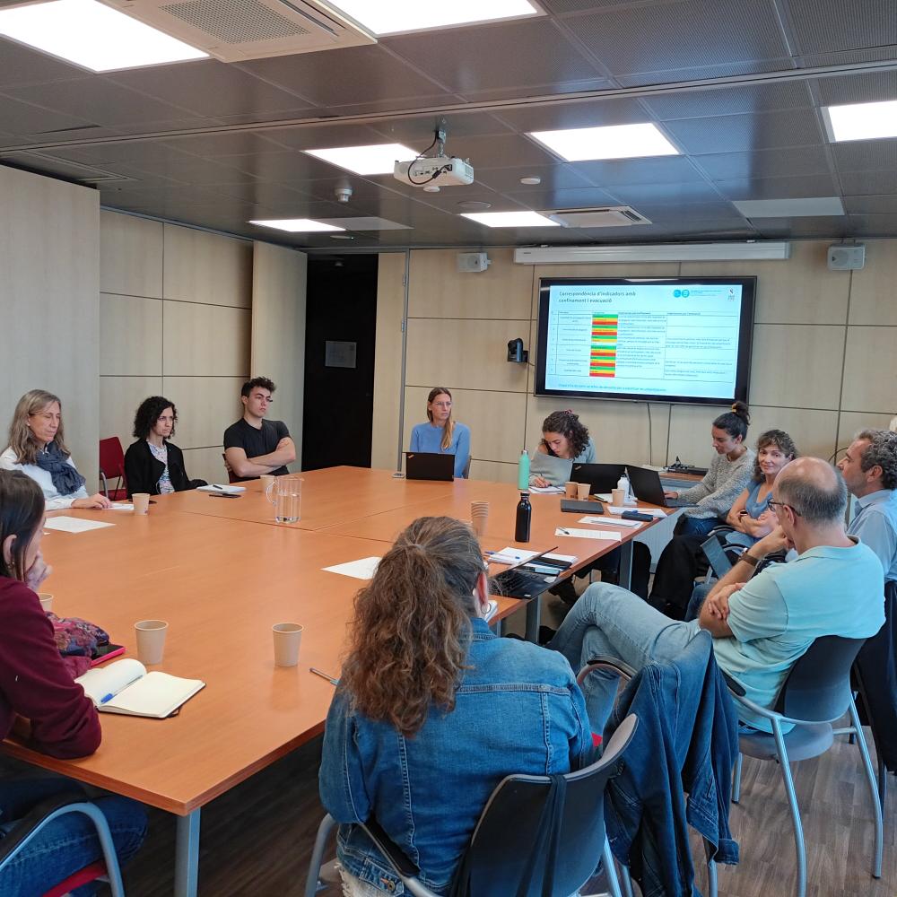
Recognising that technical tools are most effective when operationally validated, FIRE-SCENE Pilot 1 has actively engaged regional stakeholders to co-create the methodology. The expertise and technical requirements shared by the GRAF unit of the Catalan Fire and Rescue Service, the General Directorate of Forest Management, the ICGC, and the Provincial Councils of Barcelona and Girona have been instrumental in shaping the indicators. These metrics are designed to be pragmatic, utilising open-access data to ensure the tool's long-term sustainability and scalability.
The progress of Pilot 1 represents a significant advancement in integrating technical wildfire intelligence into regional civil protection governance. By establishing a unified cartographic baseline and a robust GIS framework, the FIRE-SCENE project equips authorities with the diagnostic capabilities required to move from reactive response to proactive resilience. As we transition toward the final validation and stress-test phases, the priority remains clear: leveraging data-driven insights to ensure that every community, no matter how isolated, is better prepared to face the next wildfire.
Building on the technical foundations, the pilot will culminate in drafting guidelines for local authorities and communities, with measures to enhance the self-protection capacity of peri-urban residents and strengthen the local institutional structures managing risk. By outlining specific actions for loss mitigation and risk reduction, it is ensured that the insights gained from the GIS tool are translated into long-term safety standards for the region’s WUI.
Sectors
Risk drivers