TEMA’s Digital Twins: A Game-Changer for Fire Field Operations in Sardinia
As wildfires grow in intensity and frequency, the need for advanced tools to manage these emergencies becomes more critical.
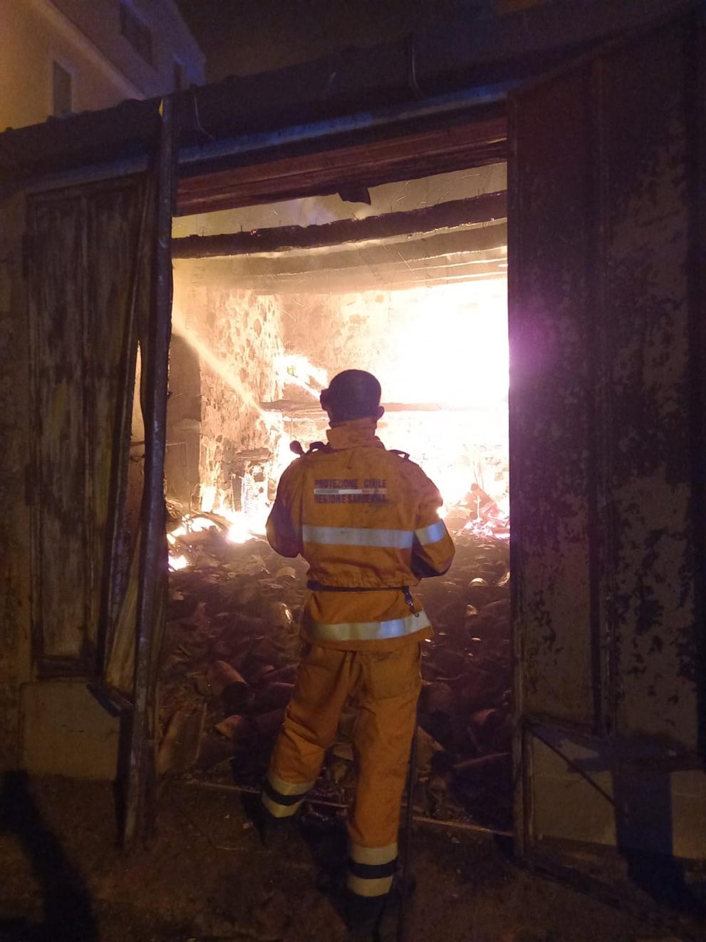
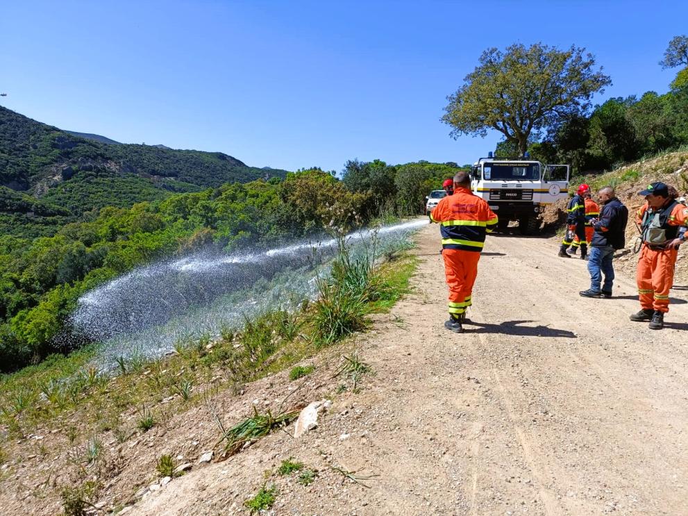
In Sardinia, a region highly susceptible to forest fires, the Directorate General for Civil Protection of the Sardinia Regional Authority (Regione Autonoma della Sardegna - RAS) is taking a proactive approach by adopting innovative solutions to improve their firefighting capabilities.
One such solution is the digital twin technology developed by the Horizon Europe project TEMA (Trusted Extremely Precise Mapping and Prediction for Emergency Management), which will offer new possibilities in fire management by providing real-time, data-driven insights into fire behaviour and resource deployment. By integrating cutting-edge technologies such as drones, GPS and fire propagation models, TEMA’s digital twin platform is transforming how firefighting operations are conducted, enhancing both situational awareness and decision-making.
RAS has long been at the forefront of fire management in Sardinia, where the rugged terrain and hot, dry summers create ideal conditions for wildfires. The introduction of TEMA’s digital twins marks a significant step forward in improving the efficiency and effectiveness of field operations. The TEMA platform facilitates seamless communication between firefighters on the ground and those coordinating the emergency from the operations room, ensuring that critical information flows both ways. This enhanced communication capability allows for faster, more informed decision-making during fire emergencies, a crucial factor in protecting lives and property.

A platform could be a good supporter to give instruction, to give orders to the people that are operating in the field, and a portal to receive information from what is happening in the field.
One of the standout features of TEMA’s digital twin technology is its ability to provide a comprehensive and real-time overview of the terrain and fire behaviour. Sardinia’s varied landscape—with its mix of flat areas, hills and dense forests—can significantly affect how fires spread. Understanding these variations is key to effective firefighting.
The digital twin allows firefighters to visualise the exact location of a fire and assess how it might spread, based on real-time data about the terrain and environmental conditions. This predictive capability gives firefighting teams an edge in anticipating fire behaviour, enabling them to position resources more effectively and reduce response times.
The digital twin is a very good tool to understand if a fire is on a plain, if it is in a flat area or if it is coming along a hill, because the behaviour of the fire is completely different.
The integration of drones into the TEMA platform further enhances its value in fire management. Drones provide high-resolution aerial views of affected areas, capturing critical information such as wind direction, temperature and the spread of fire in real-time. These data points are then fed into the digital twin, creating a dynamic and accurate representation of the ongoing situation. As Fabio Casule highlights, "The drones and the information they gather, when combined with the digital twin, make it easy to understand the territory and where the fire is taking place." This comprehensive view from above helps firefighting teams on the ground navigate challenging terrain and make faster, more strategic decisions about resource deployment.

Another critical aspect of TEMA’s digital twin is its ability to simulate fire propagation in real-time. The platform’s fire propagation model allows commanders to estimate the speed and direction of a fire’s spread, helping them to make timely decisions about evacuation and resource allocation. "You start with an ignition point and then you see how the fire is propagating," Fabrizia Soi, head of the forest fire forecasting sector at RAS explains. "You estimate more or less at which time the fire can arrive at a village and you decide to evacuate the people in the field on time." This predictive power gives emergency managers a vital tool for minimising damage and ensuring the safety of residents in affected areas. With this capability, firefighting teams can take proactive measures, such as evacuations, well before the fire reaches critical zones.
In addition to managing fire spread and evacuation efforts, TEMA’s platform will also track the movement and status of firefighting teams and equipment in the field. Using GPS data, the digital twin overlays the positions of firefighting teams onto the map, allowing commanders to see their exact locations and coordinate efforts more efficiently.
The platform will be a big system where you see all the most important information - about the teams in the field, the equipment, if you need more helicopters- and you can give orders based on that.
This comprehensive view ensures that resources are deployed where they are needed most and that firefighting teams have the support they need to combat the fire effectively.
In conclusion, the digital twin technology offered by the TEMA project represents a major breakthrough in fire management for Sardinia and other fire-prone regions. By providing real-time insights into fire behaviour, terrain and resource deployment, the TEMA platform will allow for more informed and faster decision-making, improving the overall efficiency of firefighting operations. As the Directorate General for Civil Protection of Sardinia integrates these tools into their operations, they are not only enhancing their ability to manage wildfires but also paving the way for more resilient and effective disaster response strategies in the future.
Author: Aikaterini Beli, communication manager at the Lisbon Council, communication, dissemination and exploitation leader of Horizon Europe project TEMA