The VERA project (Cross-Border Risk Management with a Multi-Risk Approach) has achieved a key milestone with the submission of a new technical deliverable at the end of May. This deliverable focuses on the integration of critical spatial and vulnerability data for the project’s two transboundary pilot case study areas.
The document outlines progress toward three central objectives:
- Characterisation of the Pilot Case Study Areas
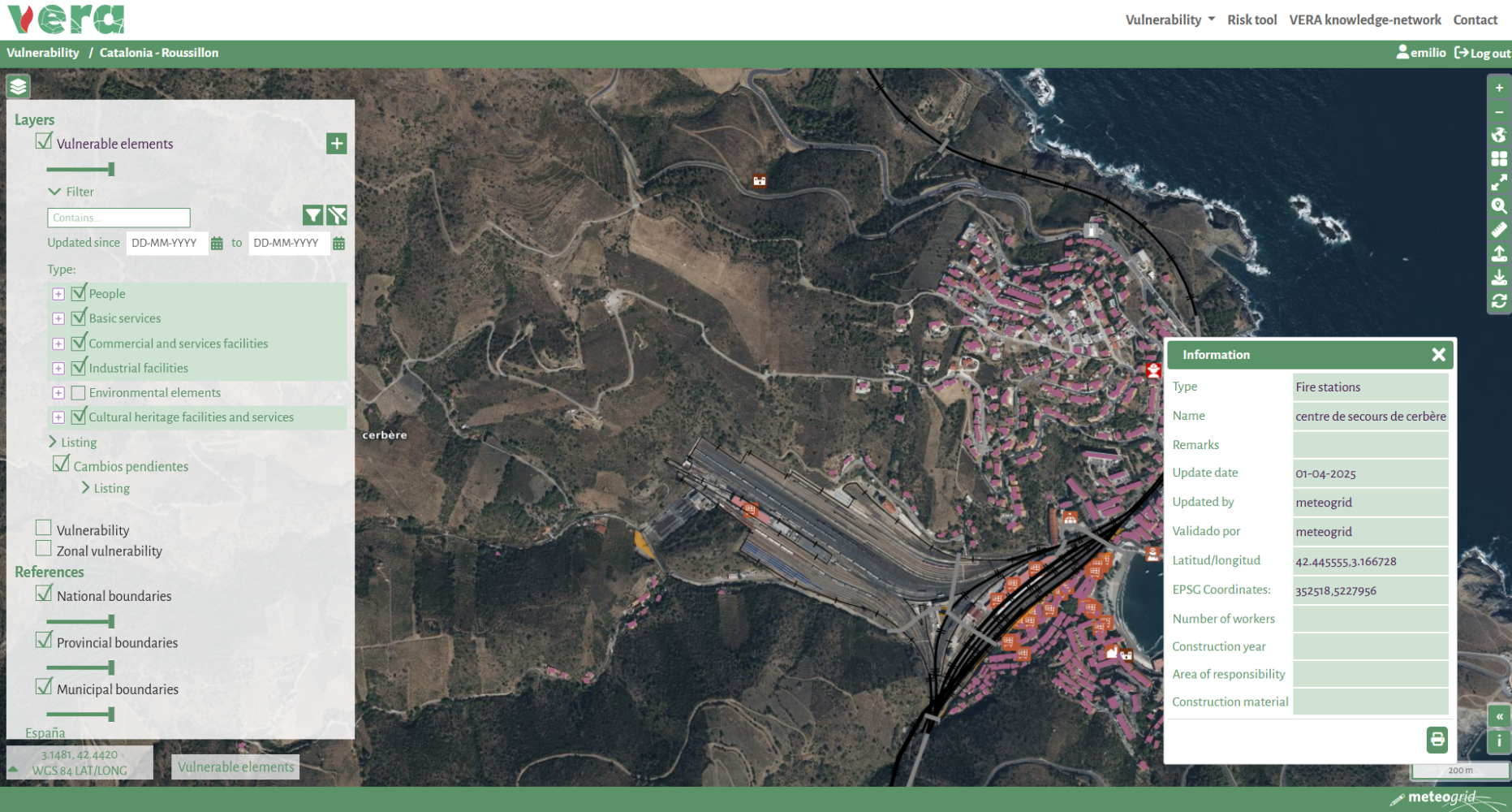
- Integration of Vulnerable Elements into the VERA Platform (such as schools, hospitals, transport infrastructure, and other key assets)
- Uploading of Spatially Explicit Data relevant to wildfire and technological risk scenarios, particularly fuel models and elevation datasets
Defining the Cross-Border Pilot Areas
The VERA project addresses two distinct pilot areas where cross-border cooperation is vital for risk management:
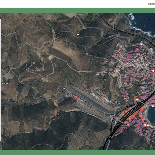
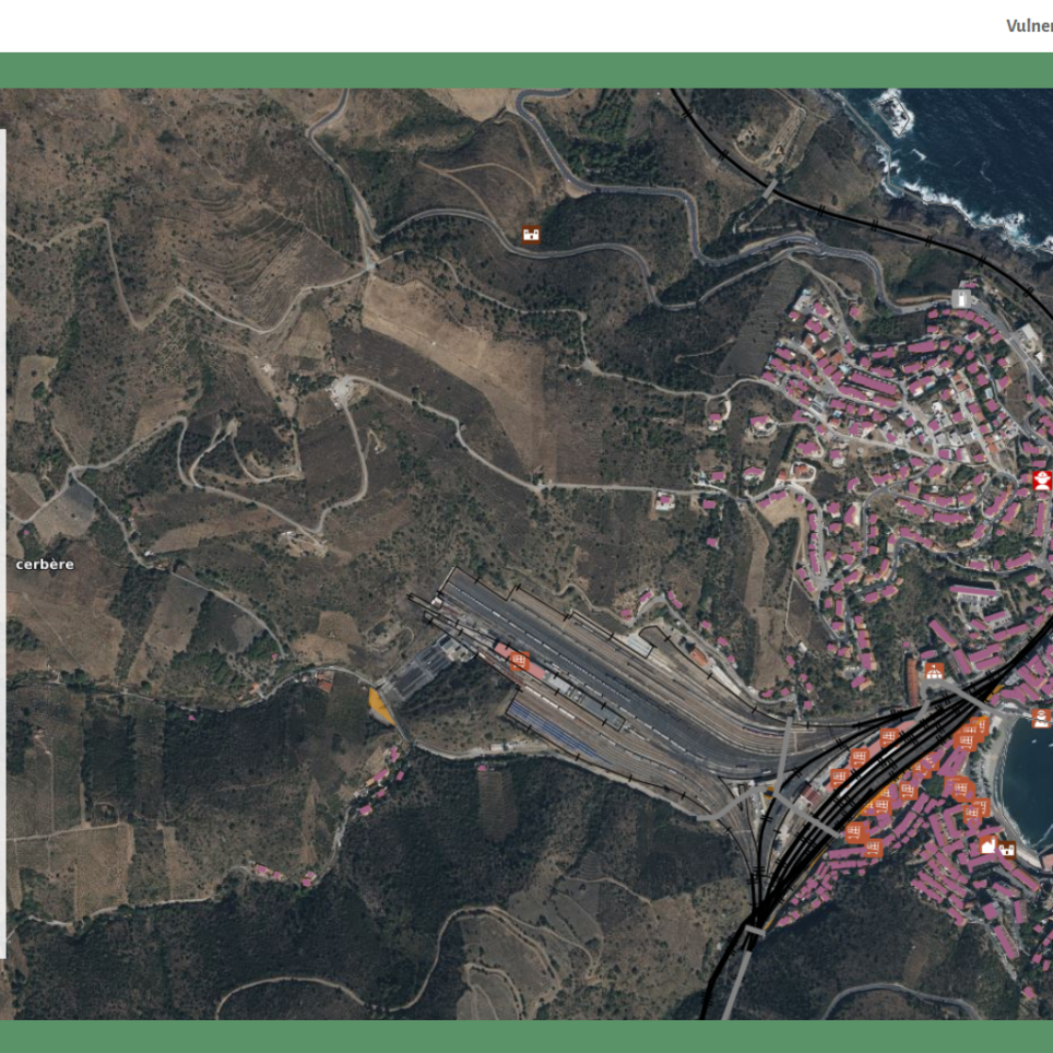
- PCSF (Pilot Case Spain–France): Covering Ripollès, Garrotxa, and Alt Empordà (NUTS 4) in the Girona province (ES512), and the Pyrénées Orientales region (FRJ15) in southern France.
- PCSP (Pilot Case Spain–Portugal): Encompassing the Ourense region (ES113) in Spain and Alto Tâmega e Barroso (PT11B) in Portugal.
These areas were selected for their diverse risk profiles and strategic relevance to cross-border civil protection cooperation.
Wildfires, Winds and Technological Risk
Analysis indicates that forest fire scenarios are particularly frequent in PCSP, although both regions have experienced such incidents. The PCSF area is notably prone to severe wind events, adding complexity to emergency preparedness.
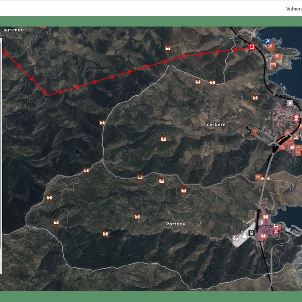
Each pilot region hosts one SEVESO facility, although their proximity to the border varies. Of particular note is the Adif-Portbou terminal in the PCSF area, located close to the Spain–France border and known for storing multiple hazardous substances. This proximity reinforces the importance of modelling potential accidental industrial scenarios in this location.
No civil or military nuclear facilities exist in the pilot areas. Therefore, simulations of road transport accidents involving radioactive materials were performed using JRODOS software for one route in each pilot area.
Data Sources and Harmonisation Process
To populate the VERA platform with up-to-date and harmonised data, the consortium relied on national and regional sources:
- In Catalonia and France, data were provided by consortium partners Protecció Civil and Valabre, respectively.
- In Portugal, the CIMAT Territorial Planning Division contributed relevant datasets.
- For the Ourense region, data was compiled from public sources such as the Online Cadastre Portal, OpenStreetMap, and the Instituto de Estudos do Territorio.
The integration process required handling over 700 geospatial files, many of which varied in format, completeness, and spatial reference. To ensure coherence within the VERA platform, the technical team developed a custom workflow using Python, enabling standardisation and quality control across all datasets.
The workflow included:
- Input data analysis
- Data adaptation to the VERA platform structure
- Geometric harmonisation (reprojections, fusion across borders)
- Semantic alignment (attribute harmonisation with VERA’s data model)
- Generation of standardised GeoJSON files
- Upload and quality control within the platform
Looking Ahead
This deliverable lays the foundation for risk modelling, impact assessment, and response planning within the VERA platform. It marks a significant step toward enhanced interoperability and decision-making capabilities in cross-border emergency scenarios, aligning with the European Union’s priorities for climate resilience and disaster risk reduction.