Copernicus Emergency Management Service Annual Conference
The narrative guiding the conference will show how early-warning and monitoring data can support a wide range of policies.
The narrative guiding the conference will show how early-warning and monitoring data can support a wide range of policies.
Registration period ended on Wednesday 2 October 2024, 23:59 (CEST)
Live streaming available:
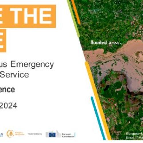
The narrative guiding the conference will show how early-warning and monitoring data can support a wide range of policies. This data includes information on droughts, wildfires and/or floods, along with emergency maps that detail the near real-time impact of those extreme events and others like earthquakes, cyclones, oil spills or landslides. Other data also shows the distribution of people and urban areas and plays a key role in the monitoring of Sustainable Development Goal 11: Sustainable Cities and Communities.
The systems providing these data are operated by scientists at the Joint Research Centre who are part the Copernicus (Emergency) Space Program. But the main users of these data include the EU's Response and Coordination Centre, Member States and Participating States of the EU Civil Protection Mechanism, and other research organisations or enterprises who repurpose Copernicus' free and open data for different purposes and scales.
The conference is structured as follows: