20 years of the Global Disaster Alert and Coordination System
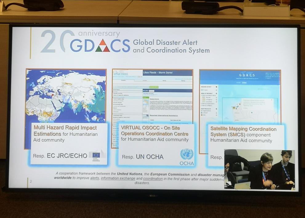
Established in 2004 by the United Nations and the EC, the Global Disaster Alert and Coordination System (GDACS) celebrates its 20th anniversary this year.
Established in 2004 by the United Nations and the EC, the Global Disaster Alert and Coordination System (GDACS) celebrates its 20th anniversary this year.
Initially conceived when geospatial technology was emerging, GDACS filled a critical gap by connecting real-time seismological data with humanitarian response needs. The 2004 tsunami in Indonesia spurred the integration of rapid satellite mapping capabilities and information management tools, fostering a productive collaboration.
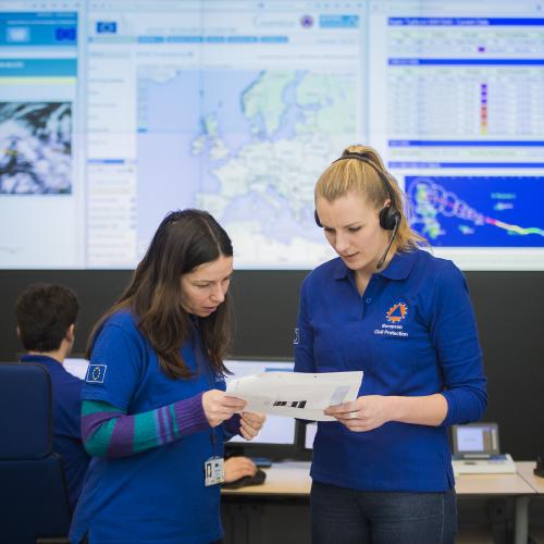
Over the past two decades, GDACS has facilitated situational awareness and decision making during major disasters, providing rapid impact estimations and enabling anticipatory actions and early responses. By promoting data access and exchange among stakeholders, it has enhanced coordination, minimised the production of unnecessary information, and streamlined decision making processes.
Central to GDACS's mission are openness and transparency, ensuring accessible, science-based data that can be easily integrated into various web applications and portals. With a user base of about 33,000 subscribers, GDACS addresses seven natural hazards and has produced over 10,000 analytical products since its inception. Users can customise alerts, define regional interests, and choose preferred communication channels.
Data science and technology have come a long way since 2004, and GDACS is constantly pushing forward its capability for early warning and monitoring disasters.
The team behind GDACS is working on a renewed web portal, which is going to improve the user experience and bring in new features and functionalities, in addition to the familiar icons and three colour levels.
While the website and tools may change, the goals and commitment of GDACS will stay the same: supporting humanitarian action with data and helping to protect people.
This spring, two upcoming events are providing the opportunity to celebrate 20 years of GDACS:
• The Humanitarian Network Partnerships Weeks (HNPW) , where a dedicated session on 7 May will cover the anniversary as part of the annual GDACS meeting (hybrid).
• The European Civil Protection Forum will host GDACS during its gathering on the 4–5 June in Brussels. The session will focus on GDACS activity over the last two decades within the humanitarian and civil protection community.
Registration is open for both events.
To learn more about GDACS’ 20th anniversary, check out its newest flyer or visit the dedicated webpage or the GDACS website.
