Forest fires and Copernicus activations
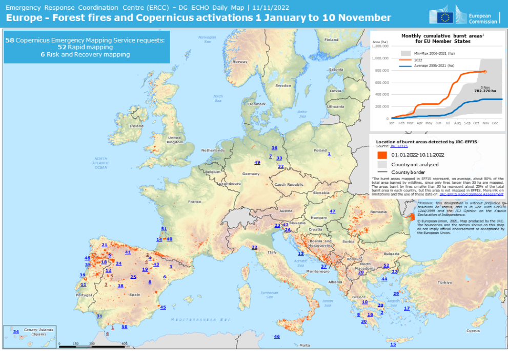
ERCC publishes a map illustrating forest fires and Copernicus activations in Europe in 2022.
This map, prepared by the Joint Research Centre (JRC) upon an Emergency Response Coordination Centre (ERCC) request, illustrates the forest fires in Europe from 1 January to 10 November 2022 and related Copernicus activations. The burnt areas mapped in the European Forest Fire Information System (EFFIS) represent around 80% of the total area burnt by wildfires.
According to the map, the Copernicus Emergency Mapping Service was requested 58 times within that specific period. Among those requests, 52 concerned Rapid Mapping whilst 6 focused on Risk and Recovery Mapping.
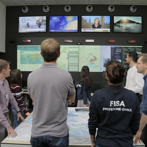
Monitoring events around the globe 24/7, the ERCC produces informative geospatial maps as part of its response to disasters. The maps provide situational awareness of the event in order to support swift decision-making and help coordinate a more effective response.
