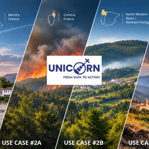
Natural hazards differ in their causes, dynamics and impacts. Effective disaster preparedness therefore requires solutions adapted to specific geographical conditions, environmental challenges and operational needs.
UNICORN addresses this challenge through four real world use cases, selected across the Mediterranean region and designed to demonstrate how Earth Observation technologies can support improved disaster risk management.
Each use case focuses on a specific hazard and combines different data sources, technologies and stakeholder requirements.
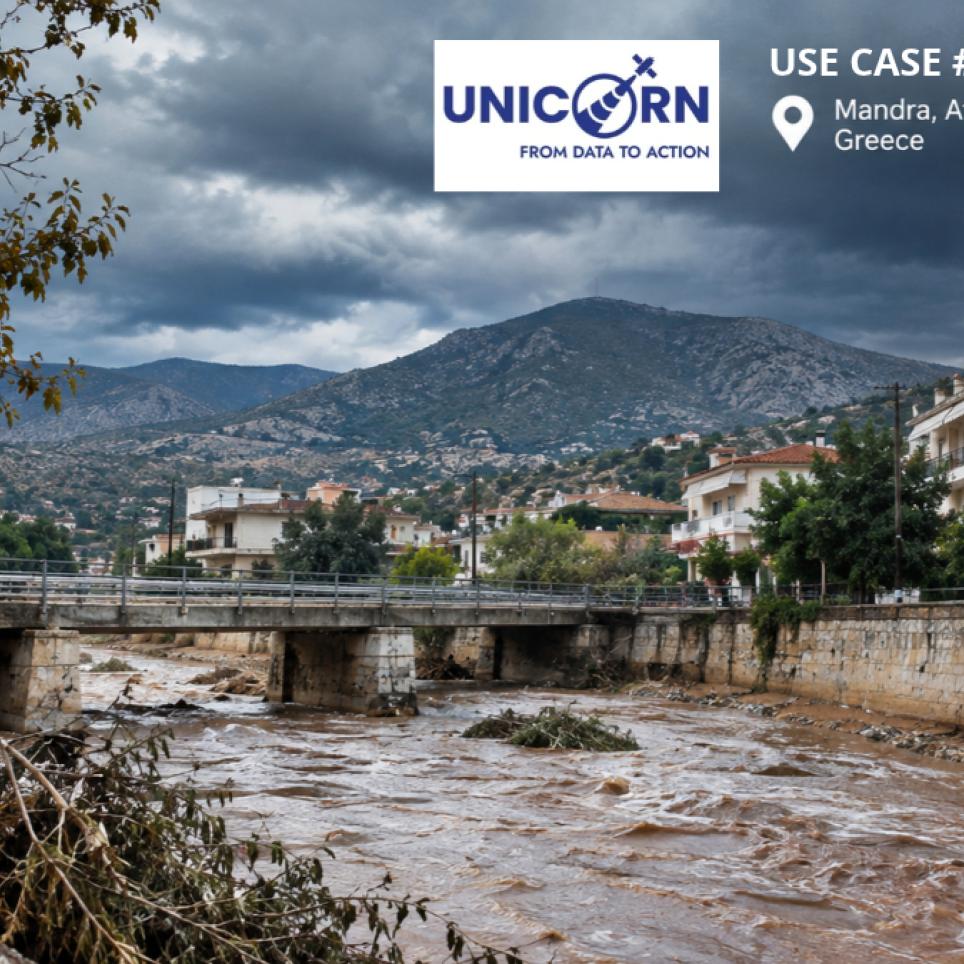
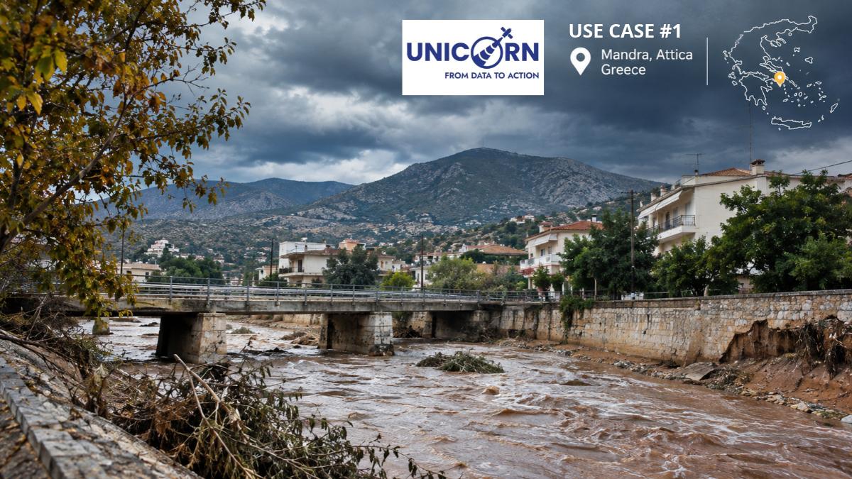
Flash floods can develop rapidly, threatening lives, infrastructure and economic activities.
In the Mandra River Basin, UNICORN integrates high resolution weather forecasts, Copernicus soil moisture data and real-time measurements from hydrometeorological stations.
By combining these sources with pre-computed hydrological and hydraulic simulations, the application aims to provide flood extent and depth maps for the following two days, supporting civil protection agencies and first responders in their decision making.
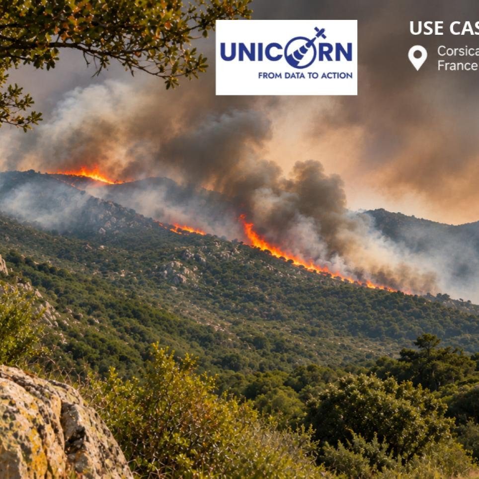
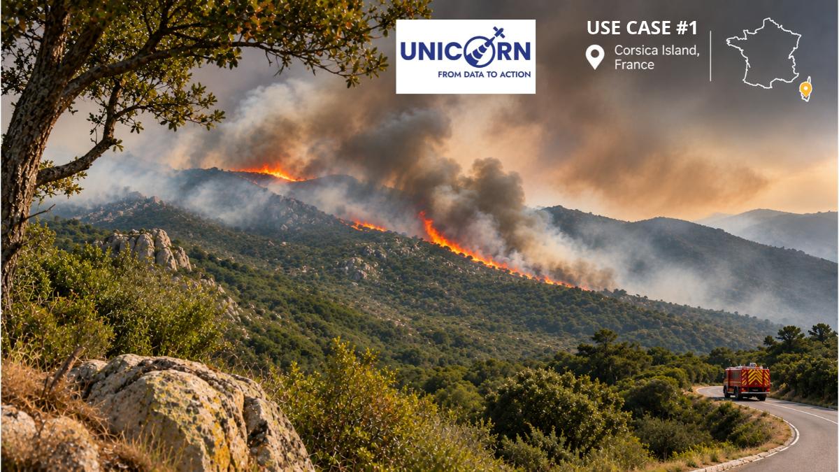
Early detection and accurate monitoring are essential to improving wildfire management.
In Corsica, UNICORN is developing a three tier approach that combines satellite observations and Artificial Intelligence to rapidly detect fires, map burned areas and assess their impact on populations and infrastructure.
The application also aims to support fire propagation nowcasting by integrating weather forecasts and AI-processed land cover information.
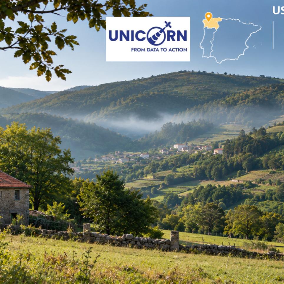
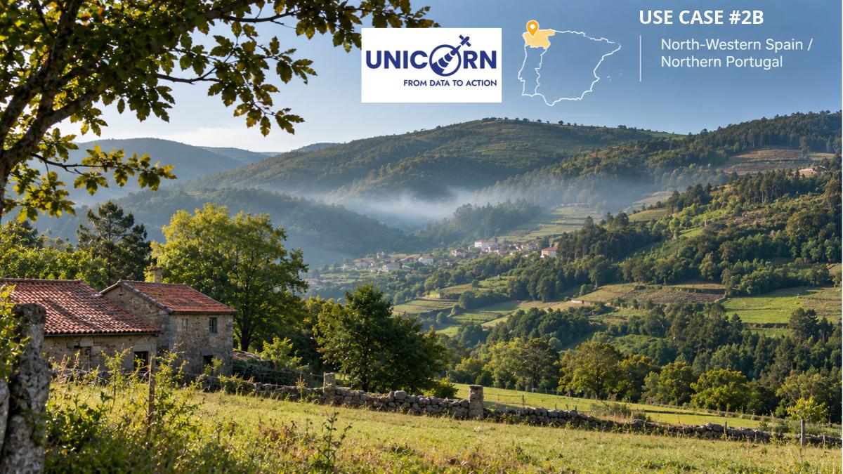
Understanding where and under which conditions wildfires are more likely to occur is crucial for prevention.
This use case focuses on high-resolution wildfire danger and risk assessment, particularly in forested and reforested areas.
By combining Artificial Intelligence, data science, High Performance Computing and Geographic Information Systems (GIS), UNICORN aims to improve the analysis of potential ignition risks and support risk reduction strategies.
The application also considers the involvement of insurance stakeholders and the assessment of real world scenarios.
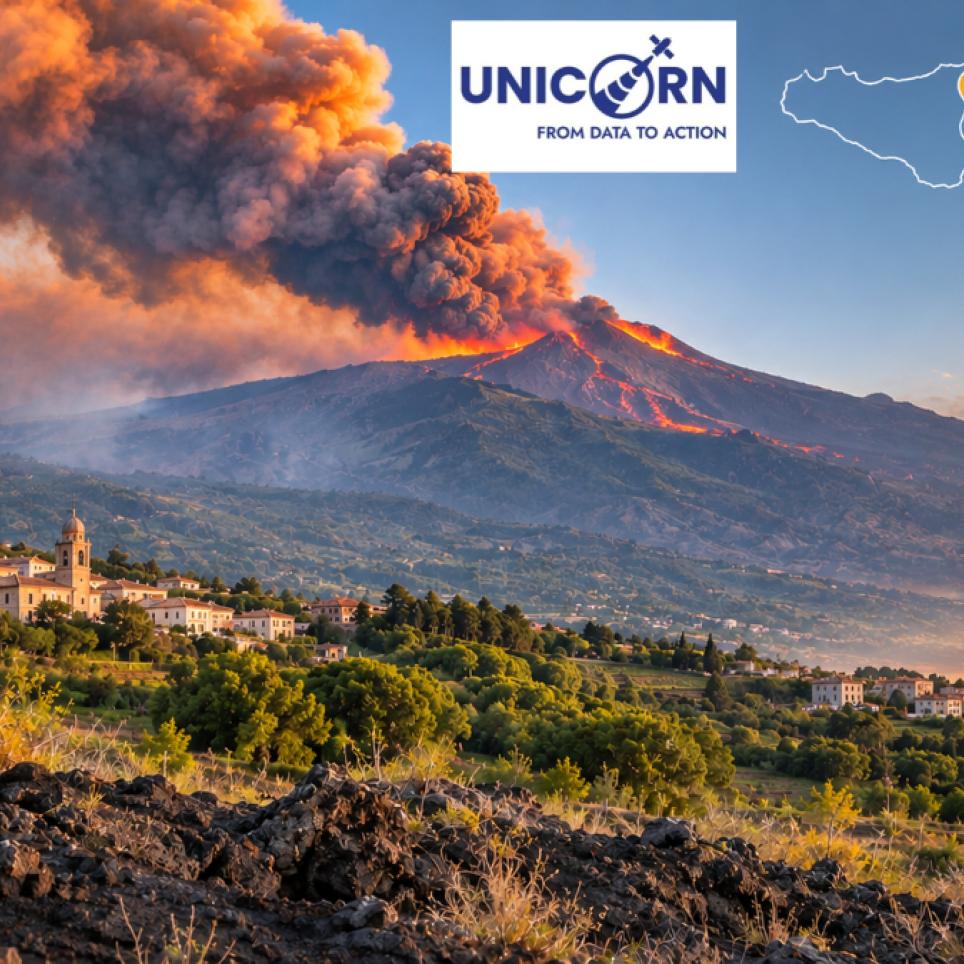
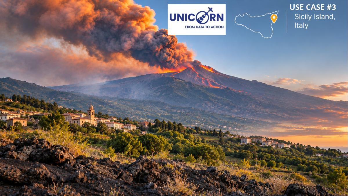
Volcanic eruptions and lava flows can threaten settlements, infrastructure and economic activities.
Using Mount Etna as a case study, UNICORN is developing an emergency management tool that combines Copernicus satellite data with numerical modelling.
The application includes lava flow alerts, satellite based monitoring, flow simulations and modelled loss forecasts to support emergency managers, public authorities and local businesses during volcanic events.
From local challenges to transferable solutions
Although each use case addresses a different hazard, they share a common objective: transforming Earth Observation data and scientific knowledge into actionable information.
By testing and validating these applications in real world conditions, UNICORN aims to demonstrate how innovative technologies can support more effective and proactive disaster management across Europe.
Explore all four use cases: https://unicorn-project.com/en/use-cases/
USE CASES
The images illustrate the four UNICORN use cases across Europe, highlighting the different natural hazards addressed by the project and the role of Copernicus Earth Observation data and advanced technologies in strengthening disaster preparedness and resilience. From flood forecasting in Mandra, Greece, to wildfire detection in Corsica, France, and fire danger assessment across north-western Spain and northern Portugal, each scenario demonstrates how satellite observations, weather forecasts, Artificial Intelligence and predictive modelling can support risk monitoring, early warning and emergency management. The final image focuses on Mount Etna in Sicily, Italy, where satellite-based monitoring and numerical simulations contribute to lava flow prediction and more effective responses to volcanic emergencies.