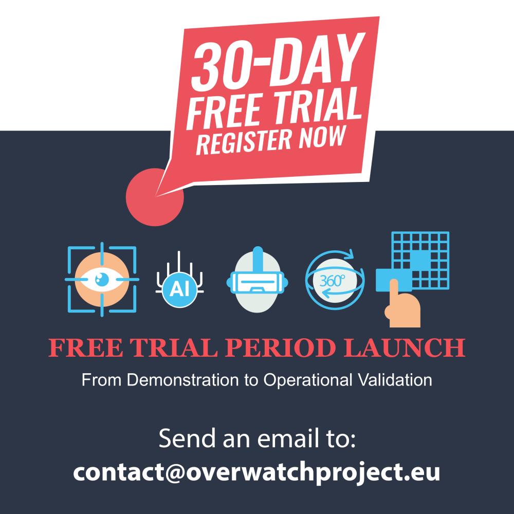
OVERWATCH 30-DAY FREE TRIAL
OVERWATCH 30-DAY FREE TRIAL
📩 Contact us: contact@overwatchproject.eu
⭕ Trial Period: 1 MONTH FREE TRIAL
⭕ The web platform will be available UNTIL 30|10|2026
FloodWildfires
OVERWATCH 30-DAY FREE TRIAL
📩 Contact us: contact@overwatchproject.eu
⭕ Trial Period: 1 MONTH FREE TRIAL
⭕ The web platform will be available UNTIL 30|10|2026
📩 Contact us: contact@overwatchproject.eu
Trial Period: 1 MONTH FREE TRIAL
The web platform will be available UNTIL 30|10|2026
〰️〰️〰️〰️〰️〰️〰️〰️
⭕ What is being given access to:
✔️ USAGE OF THE OVERWATCH PLATFORM
✔️ USAGE OF EO CAPABILITIES AND VISUALIZATION OF GEOSPATIAL DATA
✔️ AUGMENTED REALITY APP
A short-term free license with dedicated XR app (available only until the end of April 2026)
⭕ The user will be able to:
✔️ QUERY THE POST EVENT EO SERVICES:
✔️ QUERY PRE/POST EVENT ANALYSIS:
✔️ ACCESS OPERATIONAL LAYERS:
✔️ USE AUGMENTED REALITY
✔️ INTEGRATE EXTERNAL WMS (BETA)
〰️〰️〰️〰️〰️〰️〰️〰️