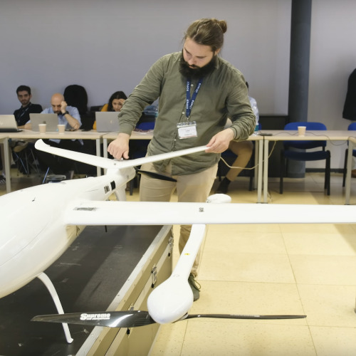
OVERWATCH project - Drone VIDEO (ROBOTTO)
Our partner, ROBOTTO, is currently working on developing a drone for the OVERWATCH project. This drone is designed as part of the OVERWATCH system, is designed to be able to fly over WILDFIRES and FLOODS. The drone has a sensors package which consists of a thermal camera, RGB camera, and LiDAR data. By fusing RGB, thermal, and LiDAR data, we are able to generate real-time maps on the drone, with our onboard computer capabilities we are generating, maps, that are been used for dynamically changing the flight paths in case of a WILDFIRE, usually, the region on top of it becomes extremely dangerous and we are using object collision where the region on top of a WILDFIRE is marked as a forbidden zone. Our system can dynamically change the flight path and fly around the WILDFIRES. This drone, with all the sensor package, can fly for three hours and can map both WILDFIRES and FLOODS. While all the data is being sent in real-time to the OVERWATCH geospatial repository, the system has two fallback systems, the primary one is using LTE connectivity directly on the drone, sending tiles of images and updating the maps on the dashboard and a fallback system in case of low LTE coverage the data is being sent over radio, which then is forwarded to the ground control station that has internet connectivity and the data is being transmitted directly to the geospatial repository.