On 20 January 2026, the SUNSHINE project consortium successfully held its first training webinar of the SUNSHINE capacity building programme, bringing together almost 100 participants to explore how EU Space data and services can be leveraged by civil protection authorities to strengthen disaster resilience across EU Member States.
The webinar opened with an overview of the SUNSHINE project and its upcoming training opportunities, including in-person training seminars and immersive simulation exercises designed to support operational uptake.
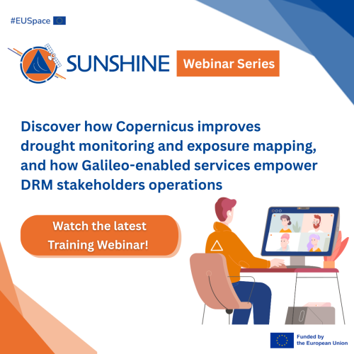
Participants were then introduced to Copernicus, the Earth Observation component of the EU Space Programme, with a particular focus on the Copernicus Emergency Management Service (CEMS), which supports all phases of disaster management through tailored geospatial products and services. The session explored two key CEMS components in detail:
- European Drought Observatory (EDO): which provides drought forecasting and monitoring maps, analysis tools and periodical reports focused on Europe. SUNSHINE representatives presented EDO’s core products, demonstrating how civil protection practitioners can access and interpret key drought indicators to support local disaster preparedness and response.
- Global Human Settlement Layer (GHSL): which provides accurate and updated information on the presence of human settlements and population with the Global Human Settlement Layer (GHSL) derived from satellite and census data. GHSL informs CEMS products and help civil protection stakeholders better estimate potentially affected populations during disaster events.
In addition to CEMS, the webinar examined the role of Galileo services in supporting crisis and emergency management. As part of the European Global Navigation Satellite System (EGNSS), Galileo provides precise navigation, positioning, and timing information which can be applied across a wide range of civil protection scenarios. The services presented included:
- Galileo Emergency Warning Satellite Service (EWSS): currently in pilot phase, enabling civil protection authorities to issue emergency alerts to populations.
- Galileo High Accuracy Service (HAS): delivering real-time highly accurate positioning, increasing situational awareness during emergency operations.
- Galileo Open Service Navigation Message Authentication (OSNMA): enabling GNSS receivers to authenticate Galileo signals, protecting them against security threats and cyberattacks.
- Galileo Search and Rescue (SAR): which is Europe’s contribution to the global life-saving endeavour of the Cospas-Sarsat Programme, and supports global rescue operations.
The webinar explained how these services operate and presented concrete use cases demonstrating their integration into existing civil protection workflows.
🎥 Missed the webinar?
Access further insights into the EU Space services presented, learn how they can be applied in civil protection operations, and find information on upcoming SUNSHINE training opportunities.
Watch the full recording of the webinar here: https://www.youtube.com/watch?v=aAwhp1tmPhw
Check and download the slides here: https://civil-protection-knowledge-network.europa.eu/media/sunshine-technical-webinar-20-january-2026-slides
Interested in participating in one of the upcoming SUNSHINE Training Seminars?
If you work in civil protection, emergency management, or disaster risk reduction, this is your opportunity to boost your skills, gain hands-on experience with cutting-edge EU Space tools, and help your organisation lead the way in using advanced technologies for disaster resilience.
Submit your Expression of Interest at: https://ec.europa.eu/eusurvey/runner/SUNSHINE_TrainingSeminars_ExpressionOfInterest

Sectors
Education & Training
Resilience
Risk reduction & assessment
Risk drivers
Climate change
Environmental degradation
Urbanisation
Thematic series
Prevention and preparedness activities