Better prepared for disaster risk reduction
This year’s United Nations International Day for Disaster Risk Reduction focuses on multi-hazard early warning systems and disaster risk information and assessments.
This year’s United Nations International Day for Disaster Risk Reduction focuses on multi-hazard early warning systems and disaster risk information and assessments.

This year’s United Nations International Day for Disaster Risk Reduction, 13 October, focuses on target G of the Sendai Framework: “substantially increase the availability of and access to multi-hazard early warning systems and disaster risk information and assessments to people by 2030.”
In Europe and its neighbourhood, the European Commission (DG ECHO) supports EU Member States and Participating States of the EU Civil Protection Mechanism through grants in advancing on disaster prevention and preparedness. This helps civil protection authorities and their partners to protect people, the environment, property and cultural heritage against disasters, to increase the level of disaster preparedness and respond to emergencies quickly and efficiently.
A number of projects financed by the UCPM have focused on early warning systems and multi-hazard assessment, for example:
- TAMIR (Advanced Tools for pro-Active Management of Impacts and Risks Induced by Convective Weather, Heavy Rain and Flash floods in Europe) has developed improved pan-European forecasting products.
They show forecasts up to 5 days ahead of rainfall accumulation and flash flood impact as well as shorter term nowcasts of convective storm impact to support emergency management actions.
The forecasting product is currently being integrated into the European Flood Awareness System (#EFAS) platform used by all Member States, and it is integrated in the @CopernicusEMS. The tools are shown here.
- EVE (European Volcano Early Warning System) worked towards facilitating the interaction and cooperation between scientists and civil protection agencies to timely anticipate volcanic disasters. EVE offered an easy and rapid way to forecast in real time how, when and where a new eruption may occur, thus helping to predict the most probable eruption scenarios and their potential impacts.
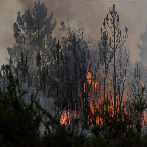
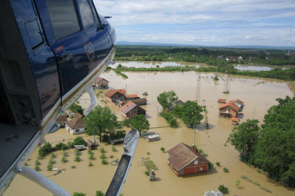
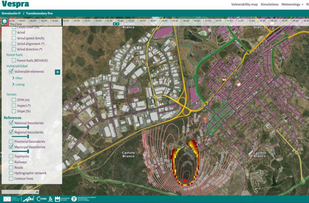
- VESPRA (Vulnerable Elements in Spain and Portugal and Risk Assessment) developed a vulnerability map providing a multi-faceted view of the potential development of a given hazard event in a cross-border area. While disaster managers use increasingly more early warning tools, the challenge is often to have updated information such as maps including the latest information about infrastructure and services in a given area.
The project addresses this challenge by an interactive map tool that incorporates also meteorological data, for example, simulating fire behaviour. The intended users of the map service are the civil protection authorities who will be better able to plan preventive action and to reduce vulnerabilities.
The residents of the areas in which interventions take place are the ultimate beneficiaries of the project.
The Knowledge Network editorial team is here to share the news and stories of the Knowledge Network community. We'd love to hear your news, events and personal stories about your life in civil protection and disaster risk management. If you've got a story to share, please contact us.