UCP Knowledge NetworkApplied knowledge for action
Lukas Liesenhoff during his speech, seated, with a microphone in his hand, looking directly into the camera.

Harnessing AI for Real-Time Wildfire Monitoring from Space

Published on

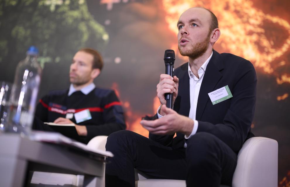
Lukas Liesenhoff is the Data Science Team Lead at OroraTech, a company specialising in advanced software solutions and decision-support tools for natural hazard monitoring and disaster risk management. He has extensive expertise in applying AI and geospatial technologies to enhance early warning systems and operational response.

Wildfires
By Knowledge Network – Staff member

Liesenhoff was a speaker in the recent workshop of the Global Initiative on Resilience to Natural Hazards through AI Solutions, jointly organised by the International Telecommunications Union (ITU) and the European Commission (DG ECHO).

Could you share an example of how AI technology contributes to early warning, risk reduction, or improved response to natural hazards?

Our primary focus at OroraTech is wildfire detection and monitoring. At the moment, we are able to observe the entire globe roughly every 12 hours. Our long-term vision is to reduce this to a 30-minute revisit time, which would be transformative for fire detection and suppression. Achieving this would require a constellation of approximately 50 to 100 satellites, depending on their configuration. Using a combination of our own internally built satellites and integrating our sensor into partner platforms, we will achieve a 30-min revisit rate in the next three to five years. Our goal is to be the thermal data backbone of the Earth Observation industry.

These openly available models are beneficial to the entirety of stakeholders. Better weather predictions allow companies like ours to build more accurate fire-spread models, which in turn improves operational decision-making. NGOs, startups, and public agencies all benefit from this shared information.

The more data, models, and algorithms are shared, the more overall quality improves, as both algorithms and datasets are continuously refined through collective use.

What ethical or governance issues should be prioritised when using AI and satellite data for disaster risk monitoring?

Another major development is the rise of AI-assisted decision-support agents. Rather than fully autonomous systems, the first practical applications will be carefully defined assistants, for example, helping prioritise multiple fires based on predefined criteria or explaining model outputs in an accessible way. These tools can significantly reduce expertise barriers and support faster, better-informed decisions.

Finally, advances in space technology itself will be transformative. Real-time satellite communication, live data streaming, and even on-orbit computing are becoming feasible. Smaller, more specialised satellite constellations will enable far more targeted and operational applications than today’s multipurpose public satellites.

About the author

The Knowledge Network – Staff member

The Knowledge Network editorial team is here to share the news and stories of the Knowledge Network community. We'd love to hear your news, events and personal stories about your life in civil protection and disaster risk management. If you've got a story to share, please contact us.

Sectors

AI, RPAS & remote sensing

Risk drivers

Climate change