
Term usage (41)

The paper uses machine learning to identify underlying reasons and most affected areas by an increase of forest fires due to climate change

An interview with OroraTech's Data Science Lead, Lukas Liesenhoff.

Good practices and gaps from 19 Horizon Europe projects employing AI in their research
This paper shows how explainable AI reveals model decision processes, building trust and supporting wider AI adoption in geoscience.
The use of artificial intelligence in civil protection promises to improve the prevention of, response to, and recovery from disasters.
Comment assesses a global landslide AI challenge to see if competitions help participants engage with and apply international standards.
The new DRM Science and Planning working group met to discuss emerging topics, such as multi-risk disasters and behavioural insights
Presentation of a machine‐learning model predicting food insecurity in the Horn of Africa, which is one of the most vulnerable regions worldwide
Exploring the integration of cultural heritage in VR tools and their application in sectors such as documentation, planning, training and restoration.
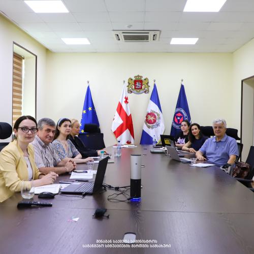
In July, an important partners meeting took place in the city of Tbilisi, Georgia, as part of the SAILOR project.
Reports and booksBiologicalCoastal ErosionEnvironmentalExtraterrestrialGeohazardsGeomagnetic StormHeatwaveMeteorological & HydrologicalMulti-hazardPreparednessPreventionall Europe/EUAI, RPAS & remote sensingAnticipation and foresightHealthResilienceRisk awareness & communicationRisk reduction & assessment
LISFLOOD is an integrated hydrological model underpinning the European and Global Flood Awareness Systems.
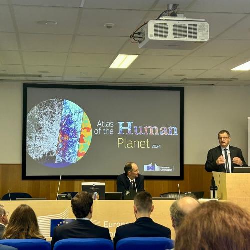
The launch event for the "Atlas of the Human Planet 2024" highlighted the role of satellite data in addressing various societal challenges.

Document on "The Solution Explorer the webtool developed during by ROADMAP and ROADMAP2 projects" to search, collect and upload GPs in DRM.
This study proposes a framework for estimating flood water depths and enhancing flood delineations, based on readily available topographical data.

Work Plan - The way forward: List of topics and deliverables as areas of work (2024–2025) for the UCPKN DRM Science and Planning working group